Rubin Observatory's LSST Begins: Ten Years, Ten Terabytes a Day, 800 Revisits Per Point
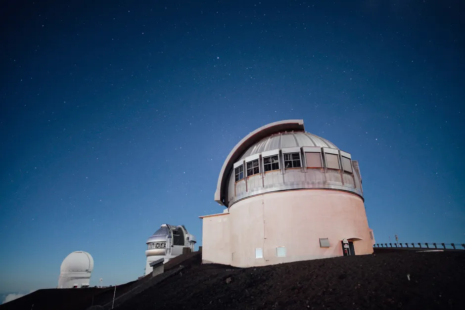
The Vera C. Rubin Observatory's Legacy Survey of Space and Time officially began on June 30, 2026, launching a ten-year program that will generate roughly ten terabytes of imaging data every night from its site in Chile.
The instrument at the center of it is the LSST Camera — at 3,200 megapixels, the largest digital camera currently in operation anywhere. The survey cadence is aggressive by any standard: approximately one thousand images per night, a new frame captured roughly every 40 seconds, with the entire southern sky revisited on a cycle of a few nights. Over the decade, each point in the sky will be observed around 800 times, building a time-domain dataset with no precedent in ground-based astronomy.
Brian Stone of the National Science Foundation described the commencement as the start of filming "the greatest cosmic movie ever made." Darío Gil, Under Secretary for Science at the US Department of Energy, said the mission will "redefine modern cosmology and astrophysics." Those are not unusual statements for a major facility opening — but the data architecture behind Rubin makes the ambition credible.
Ten terabytes per night, sustained over ten years, yields a cumulative archive measured in petabytes. The scientific value derives not from any single image but from the time-series stack: detecting transient events, tracking near-Earth objects, constraining dark energy models, and cataloguing weak gravitational lensing signals that only become statistically robust across hundreds of revisits. The 800-pass depth is what turns the camera from a survey instrument into something closer to a longitudinal study.
The observatory captured its first images in summer 2025 during a commissioning test run, reported by Engadget, giving the team an early look at the pipeline under operational conditions before the formal survey clock started. That period also let engineers characterize the camera's focal plane — 189 individual 16-megapixel sensors arranged across a field of view wide enough to fit roughly 40 full moons — before committing to a decade of production cadence.
The broader context here is worth considering for anyone working at the intersection of scientific computing and AI. A petabyte-scale, time-tagged, uniformly cadenced all-sky dataset is precisely the kind of structured corpus that modern ML pipelines are built to exploit. Real-time alert brokering — flagging transient events within seconds of readout — was designed into the Rubin data architecture from the outset, and several independent broker systems are already positioned to ingest and classify alerts as they arrive. The pipeline is not an afterthought. In my view, the LSST dataset will become one of the most consequential training and benchmarking resources for astronomical ML over the next decade, simply because no comparable time-domain corpus exists.
Separately, Engadget also reported on a development in biohybrid robotics with direct implications for search and rescue. Researchers at Nanyang Technological University Singapore and Waseda University have developed a miniaturised diving apparatus that allows cyborg cockroaches — living Madagascar hissing cockroaches fitted with electronic motor controllers — to survive submersion underwater for hours.
The suit consists of an oxygen-generation tank, a flexible outer shell, and four silicone tubes connected directly to the insects' spiracles, the respiratory openings along their abdomens. The mechanism bypasses the cockroach's passive gas exchange with an active oxygen supply, effectively extending its survivable environment from dry rubble to flooded spaces.
The field relevance is not hypothetical. Cyborg cockroaches were deployed operationally for the first time to assist with search and rescue following an earthquake in Myanmar — a notable threshold, moving the technology from laboratory demonstration to active disaster response. The combination of a controllable biological locomotion platform with underwater endurance opens search spaces — flooded basements, collapsed drainage infrastructure, submerged debris fields — that are currently inaccessible to both human responders and most wheeled or legged robots.
Both developments sit at the same intersection: sensor platforms generating structured data from environments that are otherwise opaque to human observation. One does it at astronomical scale; the other does it at the scale of a collapsed building. The engineering problems are different. The underlying logic — extend the reach of sensing into places we could not previously see — is the same.


