NASA Maps the Path of the Longest Solar Eclipse of the Century — Coming in 2027
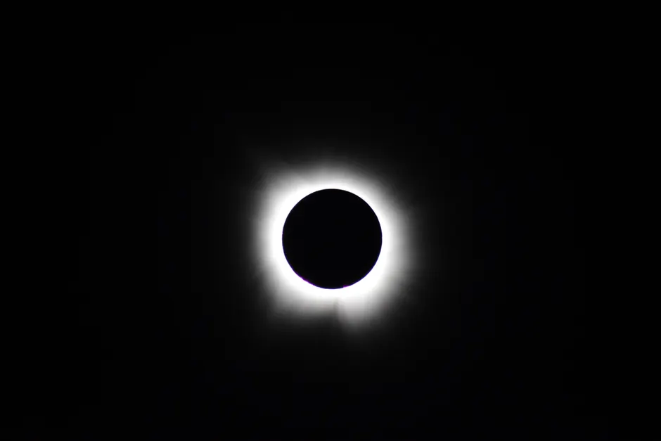
NASA's Goddard Space Flight Center has released detailed path predictions for the total solar eclipse of August 2, 2027. The Moon's shadow will sweep across Spain, cross the Mediterranean, and reach its maximum duration near Luxor, Egypt, where totality — the period when the Sun is fully blocked — will last roughly six minutes and 23 seconds (USA Today).
Goddard's eclipse portal hosts an interactive Google Map showing the ground track. The northern and southern edges of the path of totality appear in blue; the central line, where totality lasts longest at any given longitude, appears in red (NASA GSFC). Users can click any point along the path to see local details, including when the eclipse begins and ends and how much of the Sun will be covered.
NASA calculates the moment of greatest eclipse at 10:07:50 Terrestrial Dynamical Time, equivalent to 10:07 Universal Time, using a Delta T value of 76.0 seconds (NASA GSFC). Delta T is the difference between Terrestrial Dynamical Time — a uniform time scale based on planetary motion — and Universal Time, which tracks Earth's actual rotation. Because Earth's spin is gradually and irregularly slowing, the two time scales drift apart, and Delta T corrects for that drift when translating astronomical predictions into real-world locations on the ground.
The path predictions rely on the VSOP87/ELP2000-85 solar and lunar ephemerides — long-standing mathematical models of the Sun's and Moon's positions (NASA GSFC). Interestingly, the path computation file uses a Delta T of 71.7 seconds, a figure published in 2014 that differs from the 76.0-second value in the eclipse bulletin. The gap reflects the fact that Delta T is a moving target: as new observations accumulate, estimates of Earth's rotational slowing are refined. The path files are periodically updated, but the underlying ephemerides stay fixed.
NASA also publishes a full table of Besselian elements for this eclipse (NASA GSFC). Besselian elements are a standardized set of geometric parameters that describe the orientation and size of the Moon's shadow cone at successive moments during the eclipse. Think of them as a recipe: with these numbers, anyone with planetarium software or a calculator can independently work out local eclipse times and coverage for any set of coordinates, rather than relying solely on pre-computed tables.
The eclipse path crosses Spain, then traces across North Africa and the Middle East. The National Solar Observatory independently confirms the Luxor region as the site of greatest duration (NSO).
The broader context here is that a totality window exceeding six minutes places this eclipse among the longest total solar eclipses of the century. Duration depends on two things: the Moon's apparent size relative to the Sun, and the geometry of the shadow hitting a rotating Earth. When the Moon is near perigee — its closest point to Earth, making it appear larger — and the shadow falls on a region near local noon at a favorable latitude, totality can stretch well beyond the typical two-to-three-minute window. Luxor's maximum benefits from both the Moon's angular size at that point in its orbit and the city's proximity to the subsolar point, where the Sun is directly overhead.
For observers in the path, the distinction between the central line and the path edges matters. Someone on the red central line gets the longest possible totality for that longitude. Moving north or south toward the blue edges shortens totality progressively, until it drops to zero at the boundary. The Google Map's interactivity is designed precisely to let users find their offset from the central line and check whether their location falls within the Moon's full shadow at all.
The two Delta T values in circulation — 71.7 seconds in the path file and 76.0 seconds in the eclipse bulletin — translate to a ground-track uncertainty of only a few hundred meters in longitude. That is negligible for general observing plans but relevant for anyone doing precise shadow-boundary mapping at the sub-kilometer scale.


