Derecho and Flooding Kill Three Across Midwest, Leaving 800,000 Without Power
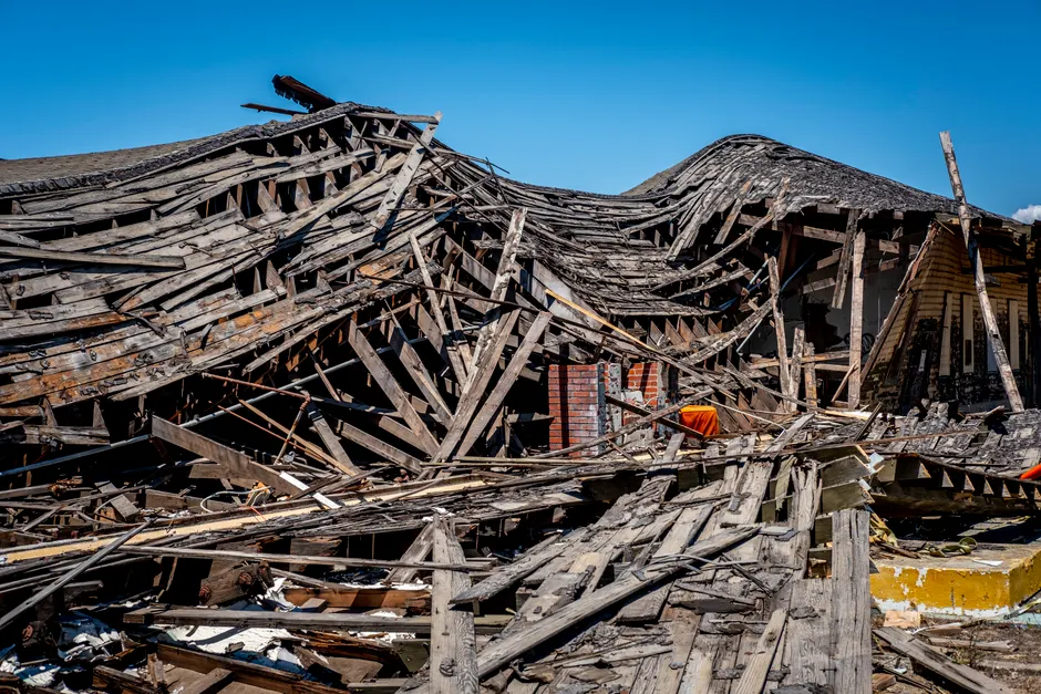
Powerful storms driven by straight-line winds of up to 99 mph swept across the Midwest on Tuesday, August 11, 2026, killing three people and leaving more than 800,000 electricity customers without power across Indiana, Ohio, Illinois, and Kentucky. The National Weather Service Storm Prediction Center recorded winds consistent with a derecho in Gary, Indiana, and confirmed two tornadoes near Chicago. Gusts exceeded 80 mph (130 km/h) across a broad swath of the region, downing trees, damaging power infrastructure, and triggering flash floods that prompted evacuations and emergency declarations in two states.
The fatalities spanned three states and multiple failure modes. In Geneva Township, Indiana, a four-year-old child died when a tree fell on his home. In Portage, Indiana, roughly 30 miles southeast of Chicago, a person was killed in a suspected weather-related house explosion. Ohio Governor Mike DeWine confirmed that one person died in Roseville, Ohio, after flooding obstructed first responders from reaching the individual. Sixteen inmates at a prison in Grafton, Ohio, were hospitalized after lightning struck as they returned from an evening meal.
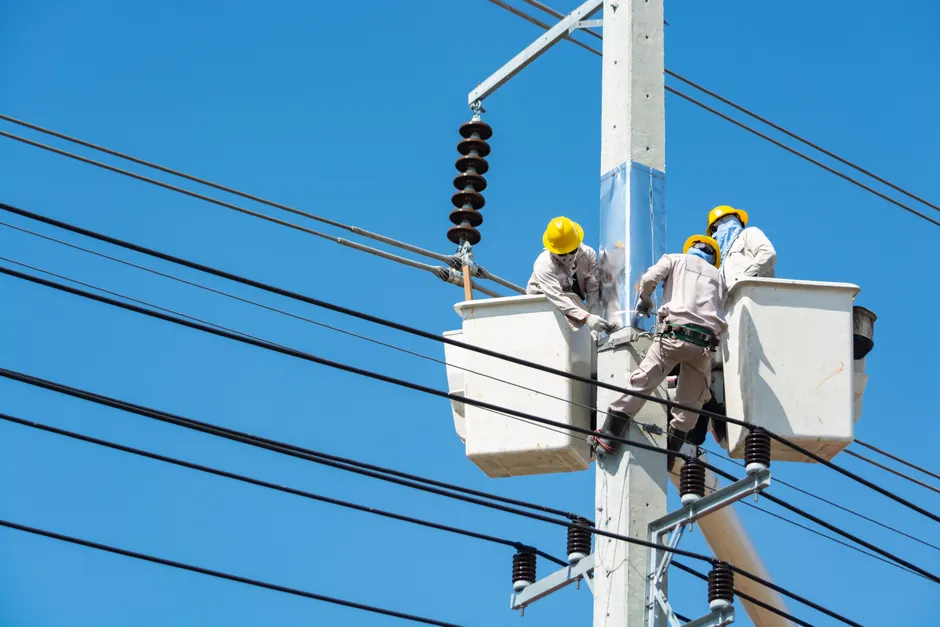
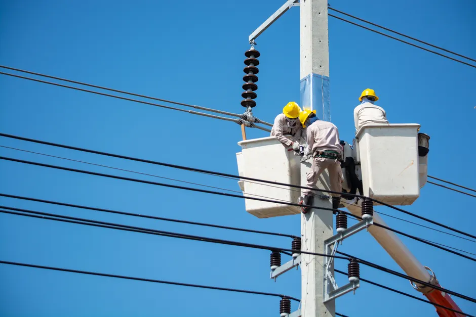
Utility provider AEP reported gusts exceeding 80 mph in the Columbus, Ohio area, with trees falling on power lines across its service territory. The company deployed more than 2,000 workers to restore electricity. According to poweroutage.us, nearly 800,000 customers across Illinois, Indiana, Ohio, and Kentucky remained without power as of Wednesday morning, August 12. Reuters had reported the same figure at midnight Eastern on August 11-12, while CNN's reporting indicated that outages in Illinois, Indiana, and Ohio alone topped 900,000 during the height of the event.
Ohio bore the brunt of the flooding. Governor DeWine signed a proclamation declaring a state of emergency in Perry and Muskingum counties, where severe flooding forced residents to be evacuated by swift water rescue teams. CNN had reported a flash flood emergency in Perry County with active water rescues on the morning of August 11. The convergence of extreme wind and torrential rainfall across southeastern Ohio created conditions where floodwaters rose faster than emergency services could navigate, contributing to at least one of the three confirmed deaths.
Indiana Governor Mike Braun issued an emergency disaster declaration covering 63 counties, citing flooding, severe weather, and tornadic activity. The state's Department of Homeland Security directed residents of Jasper, Starke, and Newton counties to report storm damage through Indiana 211 at 866-211-9966. The breadth of the declaration, covering roughly two-thirds of Indiana's 92 counties, reflects the geographic scale of the system's impact.
The meteorological profile of this event is notable for its hybrid character. A derecho is a widespread, long-lived windstorm associated with a band of rapidly moving thunderstorms, capable of producing damage comparable to an inland hurricane across hundreds of miles. The 99 mph reading in Gary places this event among the higher-intensity derechos recorded in the region. The simultaneous confirmation of tornadoes near Chicago adds a convective complexity that complicates damage assessment and power restoration logistics, as crews must contend with both linear wind damage and localized tornadic destruction.
The broader context here is the strain that multi-state derechos place on the mutual assistance framework that utilities rely on during large-scale outages. When damage spans four states simultaneously, the pool of available crews from neighboring utilities is itself depleted, extending restoration timelines. The 2,000-worker deployment AEP reported for the Columbus area alone suggests the kind of resource saturation that can push full restoration into multiple days, particularly when access roads remain blocked by floodwater or debris. For emergency managers in the affected counties, the overlap of wind damage, flooding, and lightning casualties within a single 12-hour window tests the interoperability of local, state, and federal response protocols in ways that more geographically contained events do not.