Canadian Wildfire Smoke and Flash Flooding Strike New York City

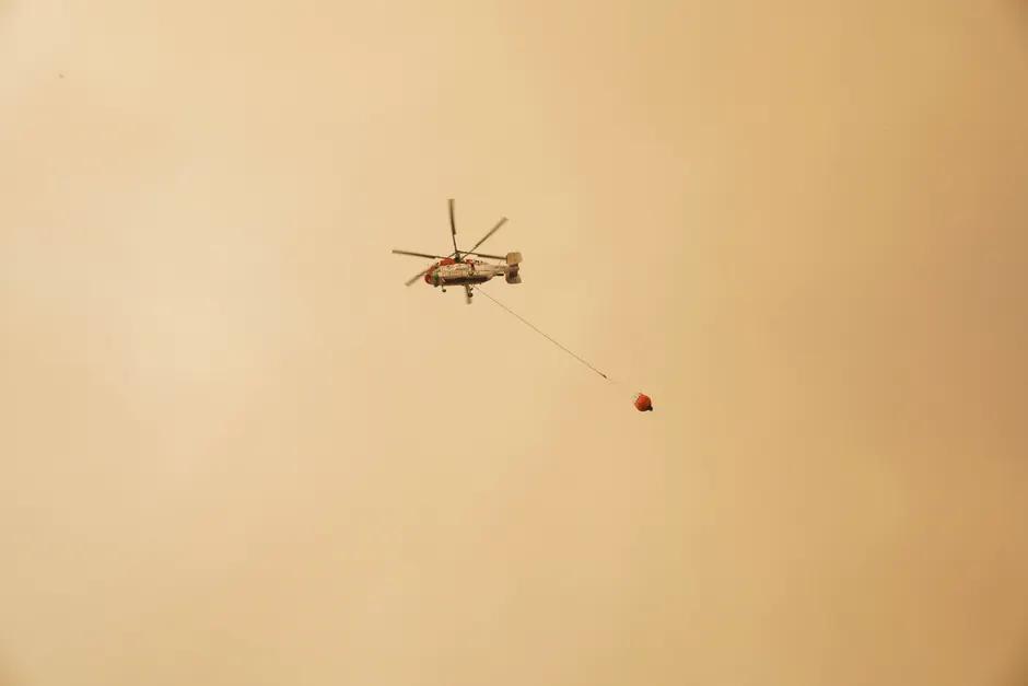
On July 18, 2026, smoke from Canadian wildfires returned to New York City and surrounding communities, pushing air quality to unhealthy levels after a brief respite on Friday. Simultaneously, a flash flood warning remained in effect through 2 p.m. for northern New Jersey and New York City as severe thunderstorms moved through the region, dumping more than 2.5 inches (6 cm) of rain in some locations by the afternoon and sending water pouring into Penn Station in Manhattan.
The National Weather Service placed much of the tri-state area under a level 3 out of 5 severe storm risk, indicating that numerous severe storms were likely. Forecasters warned that the July 18 storms could produce torrential rainfall, flash flooding, damaging wind gusts, isolated tornadoes, and hail across the north-east US. Flooding affected the neighborhoods of Jamaica, Crown Heights, Forest Hills, Ozone Park, Brooklyn Heights, Park Slope, Woodside, and Greenpoint, complicating the broader emergency response as officials also grappled with the degraded air quality. The Guardian
While the air quality in New York City reached unhealthy levels, the specific Air Quality Index (AQI) numeric value was not detailed in the primary reporting, which described the level only as "unhealthy." Conditions, however, were expected to gradually improve as shifting winds pushed the Canadian wildfire smoke away from the north-east US on July 18. The National Weather Service homepage stated that wildfire smoke was impacting air quality from the Great Lakes region into New England and the Mid-Atlantic, with widespread Air Quality Alerts in effect. Separately, the NWS homepage noted that severe thunderstorms were expected across portions of the Ohio Valley and Lower Great Lakes into the Mid-Atlantic and Northeast, and that monsoonal thunderstorms may bring areas of flooding to the Southwest.
At the regional forecast level, the NWS Philadelphia/Mount Holly forecast office (PHI) issued a Flash Flood Watch for portions of eastern Pennsylvania, effective from 10 a.m. through 2 a.m. The NWS Baltimore/Washington forecast office (LWX) issued Flash Flood Warnings covering Berks, Carbon, and Delaware counties in Pennsylvania. The NWS Pittsburgh forecast office (PBZ) issued a severe weather briefing at 5:15 a.m. EDT, noting that flash flooding may occur. The NWS national Watch Warning Advisory (WWA) summary covered areas including New York, northeast Pennsylvania, and multiple Vermont regions, including central, northeast, northwest, and southern Vermont.
The south-west US faced a distinct but concurrent threat. The National Weather Service forecast the Devils River in south-west Texas to reach major flood stage on July 18, potentially climbing as high as 22 feet (6.7 meters). The flood stage for the Devils River in the affected area is 5 feet (1.5 meters). Farther along the border, the Rio Grande was expected to peak at 21 feet (6.4 meters) by Sunday morning, July 19, 2026. Minor flooding stage in the Laredo area begins at 8 feet (2.4 meters).
The broader context here is a pattern of compounding atmospheric hazards affecting the north-east US this month. On July 6, 2026, flash flood warnings were issued for New York City and parts of the Northeast as a heat wave broke, with heavy rain causing a store roof to collapse in New Jersey. By July 11, the National Weather Service in Boston had expanded a flood watch into Rhode Island and southeast Massachusetts, with periods of heavy rain expected. A flash flood watch was also issued for Connecticut, Rhode Island, and Southeast Massachusetts. The recurrence of flash flooding events across these states within a two-week window places sustained pressure on aging urban infrastructure, particularly transit hubs like Penn Station, and raises questions about the resilience of regional stormwater management systems as climate-driven volatility intensifies.
Looking at what this means for regional emergency management, the convergence of wildfire smoke and severe convective storms requires coordinated public health and safety responses. Air quality degradation complicates outdoor disaster response, particularly for vulnerable populations, while flash flooding threatens critical infrastructure and disrupts transportation networks. The simultaneous major flood stage forecasts for Texas rivers and north-eastern urban flash flooding illustrate the scale of the multi-regional weather event currently unfolding across the country.