Canada Wildfires Send Smoke Across Ontario and Northeastern US
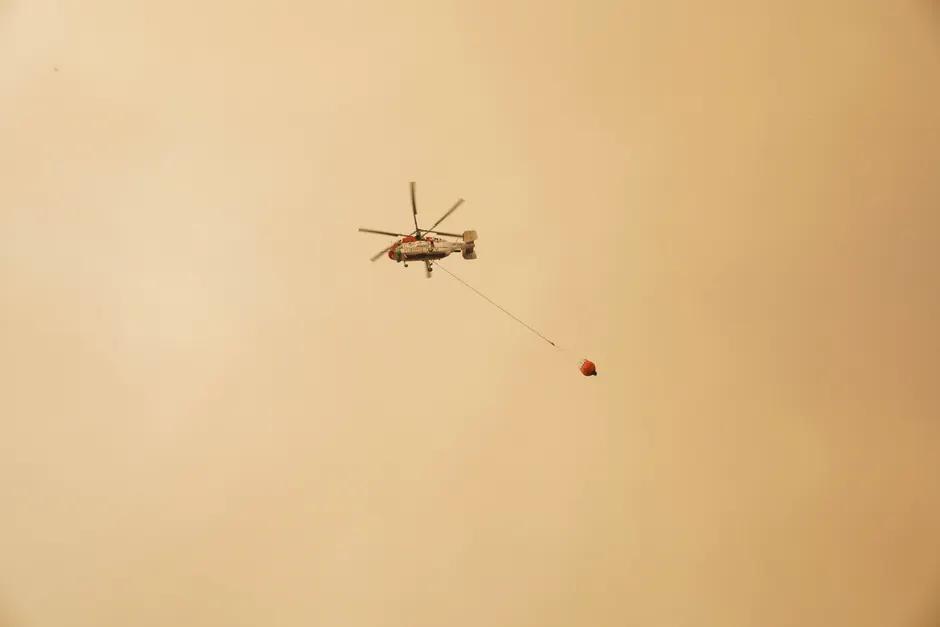
Smoke and orange haze from hundreds of active wildfires in Canada spread across Ontario and toward northern US states on July 16, 2026, with 838 wildfires actively burning across Canada, according to the Canadian Interagency Forest Fire Centre (CIFFC) BBC News. The fires span several regions, with some of the largest conflagrations concentrated in west-central Ontario ABC News.
The immediate impact on air quality has been acute. Environment Canada reported a 'High' risk on the Air Quality Health Index for Toronto due to smoke drifting from northwestern Ontario. The smoke blackened skies across the city and caused very poor air quality with reduced visibility. Reuters reported that the smoke conditions in Toronto were severe enough to bring what the wire service described as the world's worst air quality to the city on July 15, 2026 Reuters. Environment Canada also issued an air quality alert for Haliburton-Minden, noting that the forest fire smoke from northwestern Ontario was causing poor air quality extending into eastern Ontario. The Ontario provincial Air Quality Health Index summary was issued at 5:00 PM EDT on Wednesday, July 15, 2026.
The transboundary drift of the smoke has affected the northeastern United States as well. Wildfire smoke from Canada spread into the region, degrading air quality across portions of the Great Lakes and the Northeast US. In affected areas, the smoke produced a fiery, orange-hued sun, and turned skies yellow in parts of the United States Fox Weather USA Today. Reuters had reported Canada had 835 active wildfires on Wednesday, July 15, 2026, a figure that was updated to 838 by the CIFFC on July 16.
CIFFC publishes situation reports that summarize national preparedness level, fire statistics, resources and responses, prescribed fires, and priority fires. During the wildland fire season, the agency's Mobilization Stats page provides daily updated graphs, including aircraft mobilization data. These operational tools are critical for tracking resource allocation as fire activity intensifies across provinces CIFFC.
The broader context here is the recurring challenge of large-scale wildfire events that strain interagency firefighting resources and generate cross-border environmental impacts. The escalation from 835 to 838 active fires within a single day illustrates the fluid nature of the crisis and the pressure on mobilization frameworks. The geographic spread of the smoke, reaching from the fires' origins in northwestern Ontario down through the Great Lakes and into New England, highlights how regional disasters can quickly become international public health concerns. The dense smoke altering the color of the sky and the sun in major metropolitan areas is a visible manifestation of particulate matter concentrations that pose significant respiratory risks. Air quality indices reaching 'High' risk levels in population centers like Toronto indicate that the smoke plumes are carrying enough fine particulate matter to trigger health advisories and reduce visibility, affecting daily life and commerce in the affected regions.
Looking at what this means for emergency response and air quality management, the sustained intensity of the fire season will test the capacity of both Canadian and US environmental and health agencies. With hundreds of fires burning simultaneously and smoke drifting across international borders, the situation demands close coordination between CIFFC, Environment Canada, and US weather and environmental agencies. The reliance on daily updated mobilization data, including aircraft deployment metrics, will be central to managing the resource deficit. As long as the fires in west-central and northwestern Ontario continue to burn, the atmospheric transport of smoke will remain a persistent variable in regional air quality forecasts, requiring continuous public health messaging and adaptive emergency management strategies.


