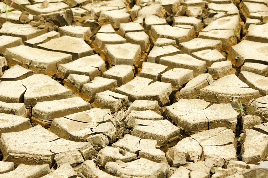
Heat Dome Grips 40 Million Americans as Southwest Braces for 120°F
At least 40 million people were under extreme heat warnings across the central and southern United States on July 26, 2026, as a heat dome parked oppressive temperatures over a vast corridor from Minnesota to Mississippi and westward into southern California and Nevada. The National Weather Service forecast highs of 120°F (49°C) in parts of the Southwest, with heat indexes — a combined measure of temperature and humidity — well above 100°F (38°C) across the affected region. The warnings follow an already punishing thermal summer for the continental US, which the National Centers for Environmental Information recorded as the second-hottest first half of the year on record.
Meteorologists attributed the event to a heat dome, a persistent high-pressure system that traps warm air beneath it and prevents cooler air masses from displacing it. The mechanics are straightforward: the high-pressure cap compresses sinking air, warming it as it descends, and the dome's immobility allows heat to accumulate day after day. The NOAA Climate Prediction Center's Probabilistic Hazards Outlook on July 26 forecast that strong mid-level high pressure would sustain a prolonged heat wave across the West through the beginning of August.
The Southwest bore the brunt. The NWS Phoenix office issued an Extreme Heat Warning, in effect until 8 PM MST on July 27, forecasting afternoon temperatures of 110 to 118°F and describing conditions as "dangerously hot." Las Vegas was under a parallel warning issued July 22, running from 10 AM PDT on July 23 through 8 PM PDT on July 27. Further south, the NWS Melbourne, Florida office noted heat index values meeting Excessive Heat Warning criteria during the July 27-30 window, suggesting the thermal threat was migrating eastward even as the core dome lingered over the interior.
Rapid City, South Dakota, reported an all-time high of 112°F on July 25 — a notable outlier for a northern Plains location and a signal that the dome's reach extended well beyond the desert Southwest. In Minnesota, a horse race at Canterbury Park in Shakopee was canceled on July 26 because of the extreme heat, marking one of the more visible disruptions to scheduled public events.
NWS meteorologist Bob Oravec stated that the core of the heat would sink southward by early the week of July 27, offering the central US a temporary reprieve by mid-week. That relief may be short-lived. Forecasts indicated high temperatures could return by the weekend of August 1-2, raising the prospect of back-to-back heat episodes with little recovery interval for vulnerable populations and grid infrastructure.
The dome's periphery carried its own hazards. Moist air circulating around the heat dome created conditions favorable for severe thunderstorms, flash flooding, and hail around the Great Lakes on July 26 — a pattern consistent with the thermal gradient that typically defines the boundary of a heat dome's influence. The NWS Lincoln, Illinois office had published an excessive heat warning page referencing a heatwave around July 20, indicating that central Illinois had already experienced one pulse of the event before the broader dome consolidated.
This late-July event did not arrive in isolation. A separate heat wave struck the Southwest and Great Plains in mid-July 2026, preceded in turn by an early-July episode that disrupted Fourth of July events across the eastern United States. On July 3, 2026, over 185 million people — more than half the US population — were under heat alerts, according to the NWS. The NWS Carlsbad, California office had also issued a Heat Advisory on July 16, albeit for comparatively modest highs in the lower-to-mid 80s°F, illustrating how the NWS tailors advisory thresholds to local climatological norms.
The broader context here is one of compounding thermal stress. Three distinct heat episodes in a single month — early July, mid-July, and the late-July dome — spanned nearly the entire continental US, from eastern seaboard holiday celebrations to all-time records in the northern Plains. The National Centers for Environmental Information's finding that 2026 posted the second-hottest first half on record frames these episodes not as discrete anomalies but as the continuation of a trajectory. For grid operators, emergency managers, and public health officials, the relevant operational question is whether the forecast mid-week reprieve holds. If temperatures return by the August 1-2 weekend as projected, the interval between heat events will have been roughly 72 hours — enough to strain cooling infrastructure but perhaps not enough to fully reset overnight lows in dense urban environments where the urban heat island effect suppresses nocturnal cooling.
The National Weather Service's multi-tiered alert structure — Heat Advisories at the lower end, Excessive Heat Warnings at the upper — reflects an effort to calibrate risk communication to local acclimatization. A 115°F day in Phoenix and an 85°F day on the Southern California coast can both trigger NWS products, because the relevant variable is deviation from the local norm, not absolute temperature alone. That calibration matters for public response: the same advisory language can prompt very different protective behaviors depending on a community's baseline thermal experience.