A Satellite Spots Massive GPS Interference Across Europe and the Middle East
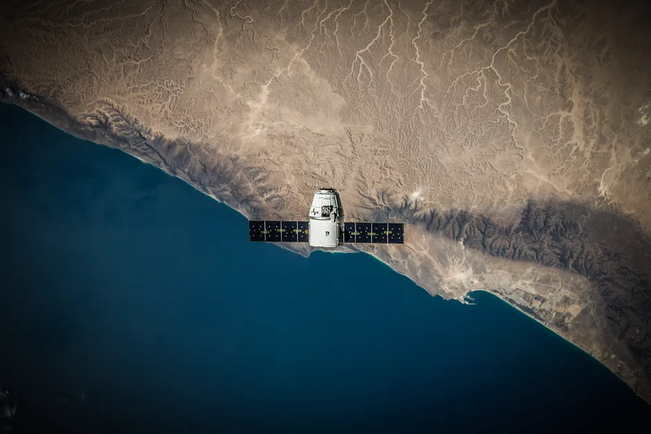
A new satellite has spotted far more GPS jamming across Europe and the Middle East than anyone thought existed — and it did this by looking down from orbit.
Until now, evidence of jamming came from scattered reports: pilots complaining that their navigation systems weren't working, ships logging position errors, and maritime authorities filing incident reports. That picture was incomplete, because it depended on people noticing and reporting problems. A satellite overhead can scan an entire continent at once, seeing interference everywhere simultaneously.
What the Satellite Saw
The jamming is widespread and extends into areas that weren't previously flagged as problem zones. Not surprisingly, conflict areas show the heaviest interference — pilots and ship captains have been complaining about this for years — but the interference spreads further than expected.
Recently, researchers discovered that jamming has been happening from space itself. Inside GNSS reported in June 2026 that at a U.S. committee meeting in September 2024, scientists presented evidence that Russia has been using satellites to jam GPS signals since at least 2019. This is different from ground-based jamming: a satellite can cover a much larger area and interfere with signals for longer stretches of time.
Two Types of GPS Interference: Jamming vs. Spoofing
GPS signals can be disrupted in two ways. Jamming floods the signal with noise — like someone turning up static on a radio so loud you can't hear the station. A jammed receiver stops working, and the user knows something is wrong.
Spoofing is trickier. Instead of just blocking the signal, a spoofing attack sends a fake GPS signal that looks real. Your phone or navigation system thinks it is receiving genuine location data, but it isn't — the location it displays is false. You have no way of knowing the information is wrong.
Both are illegal in the U.S. The FCC prohibits anyone from operating or selling devices that jam GPS. But that rule only applies inside U.S. borders. It cannot stop other countries from jamming GPS signals in their own conflict zones or from space.
What This Breaks
Airplanes and ships depend heavily on GPS. Over the past three years, pilots flying over the Baltic Sea and eastern Mediterranean have reported hundreds of instances where GPS stopped working. Ships in the Black Sea and eastern Mediterranean have logged navigation errors of tens of miles off course in areas where spoofing is common. These errors have caused real problems: flight delays, ships having to reroute, and at least a few vessels running aground.
Having a satellite that can continuously map where jamming is happening changes what is possible. Air traffic controllers, shipping companies, and military planners could use that data to route planes and ships around interference, or to know where the problems are occurring.
Two things emerge from this satellite data. First, the gap between how safe GPS is assumed to be and how reliable it actually is in certain regions is wider than most infrastructure planners realized. Second, if you want to pressure someone to stop jamming GPS — or simply want to know where it is happening — you now have a reliable way to see it from above.
For years, governments and companies have discussed making navigation systems less dependent on GPS alone, using older radio navigation systems or building in backup systems. The satellite data does not solve that debate, but it gives policy makers solid evidence that GPS interference is a real, ongoing problem across a much wider area than they previously understood.