Tropical Storm Bertha Is Heading Toward the Gulf Coast — Here's What's Happening

Tropical Storm Bertha grew stronger over the Gulf of Mexico on July 21, 2026, heading slowly toward the Florida Panhandle and Alabama with winds of 60 mph. Weather officials issued tropical storm warnings (meaning tropical storm conditions are expected) from the Florida-Alabama border all the way to the Jefferson-Plaquemines parish line in Louisiana.
As of Tuesday afternoon, Bertha was about 125 miles (201 km) southeast of Mobile, Alabama, moving northwest at just 5 mph (8 km/h). The storm's winds had increased by 20 mph since it first formed as a tropical depression (a weaker, less organized storm system) off Florida's Gulf Coast on July 19. It became a full tropical storm on the evening of July 20 and kept gaining strength the next day. The National Hurricane Center (NHC) issued its first advisory on July 19 and followed with nine numbered advisories and nine intermediate public advisories every three hours through July 21 (NHC archive).
The NHC's Advisory Number 9, issued at 10:00 AM CDT on July 21, upgraded a Tropical Storm Watch (conditions possible) to a Tropical Storm Warning (conditions expected) for the Florida/Alabama border area, extending east to the Bay/Gulf County line. At that point, Bertha was moving north-northwest (NHC Advisory 9). Earlier that day, Advisory Number 8a at 7:00 AM CDT reported Bertha moving northwest with a minimum central pressure of 29.44 inches of mercury (NHC Advisory 8a). A storm surge watch was issued from the Alabama-Florida border to the mouth of the Mississippi River, and marine warnings remained in effect for the Gulf and Eastern Pacific (NHC homepage).
The NHC warned of potentially life-threatening storm surges (ocean water pushed inland by the storm's winds) of up to 4 feet (1.2 meters) in parts of Louisiana, Alabama, and Florida. Bertha was expected to stay near the northern Gulf coast, dropping heavy rain across coastal areas of Florida, Alabama, Mississippi, and Louisiana while drifting west toward Texas. Rainfall totals of 3 to 5 inches (7 to 12 cm) were forecast along the Louisiana coastline, with higher amounts in scattered areas. Flash flooding was possible through Friday along the coast from western Florida to middle Texas. The NHC also cautioned that Bertha could spin off an isolated tornado or two over the Florida Big Bend region.
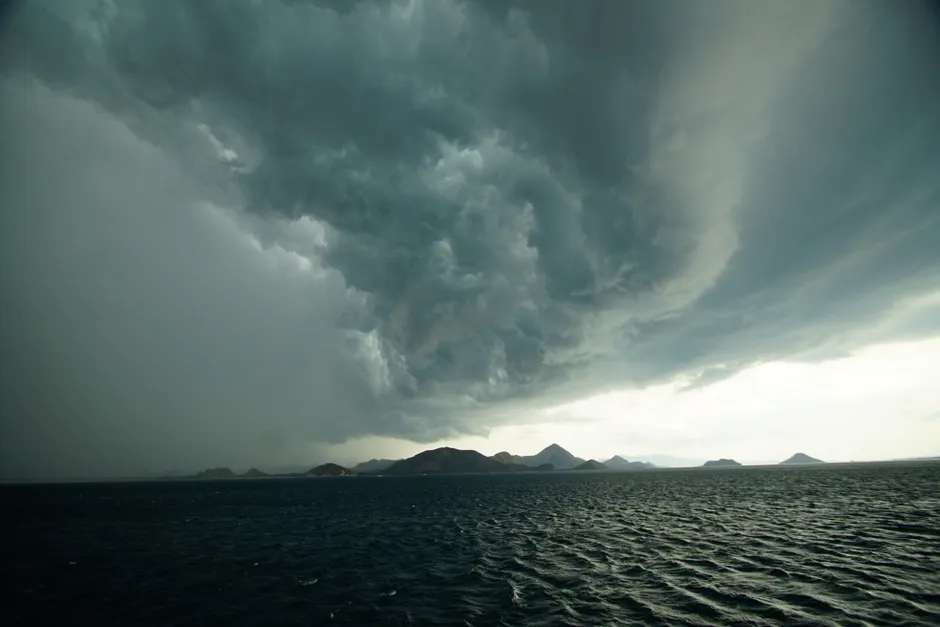
Reuters noted that Bertha had a noticeably lopsided appearance on July 21 as it tracked along the Gulf Coast. This shape often means that upper-level winds (strong winds higher in the atmosphere) are pushing the storm's thunderstorms away from its center, which can make it harder to predict where the heaviest rain will fall.
On the ground, preparations were underway in vulnerable coastal communities. Red flags were posted on the beach at Orange Beach, Alabama, warning swimmers of high surf and dangerous currents. In Escambia County, Florida, emergency officials provided sand to residents in flood-prone areas for sandbag use.
Bertha is the second named tropical storm of the 2026 Atlantic hurricane season. Tropical Storm Arthur, the first, brought heavy rainfall to the southeastern United States in June. NOAA's seasonal outlook, published May 21, predicted a 35% chance of a near-normal season, placing Bertha's development within the range of expected early-season activity (NOAA).
The broader context here is one of slow-moving Gulf storms that maximize rainfall and surge exposure even when they are not full hurricanes. Bertha's forward speed of just 5 mph means that ocean water keeps getting pushed onshore for a long time along the northern Gulf coast, which makes the storm surge worse than wind speed alone would suggest. The lopsided shape Reuters flagged also matters: the heaviest rainfall may fall well east or west of the storm's center, making it harder for emergency managers across four states to decide where to send resources and whether to order evacuations. With the system expected to linger along the coast through Friday, the total amount of rainfall may ultimately matter more than the wind, particularly for low-lying areas in Louisiana and Mississippi that are still assessing how well their drainage systems can cope after earlier summer rain.