Satellite Data Exposes the True Scale of GPS Jamming Across Europe and the Middle East
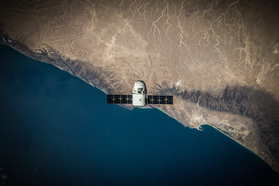
An experimental satellite has, for the first time, mapped GPS jamming activity across Europe and the Middle East from orbit — and the researchers behind it say the interference they found substantially exceeds prior estimates.
The findings, reported on 20 June 2026, come from a purpose-built spacecraft capable of detecting and geolocating GNSS interference sources from space. Until now, the regional picture of jamming had been pieced together from ground-based receiver reports, pilot complaints, and maritime incident logs — a fragmentary record dependent on affected parties self-reporting problems. Orbital observation changes that geometry fundamentally: a single pass can characterize interference across a continent-wide swath without relying on affected parties to flag the issue.
What the Satellite Found
The volume and geographic spread of active jamming in the dataset substantially exceeds what prior estimates had suggested. Conflict zones and contested airspace feature prominently — consistent with what aviation and maritime communities have reported for several years — but interference signatures also appear in areas not previously identified as hotspots.
The data adds orbital context to a trend already underway. Inside GNSS reported in June 2026 that papers presented to the Civil GPS Service Interface Committee in September 2024 documented Russia jamming GPS signals from space since at least 2019 — using satellite-based jamming platforms, not just ground-based transmitters. That distinction matters: it shifts the threat model from one where jammers occupy a fixed, locatable terrestrial position to one where the interference source itself orbits, inheriting all the coverage and persistence that orbital altitude provides.
Jamming, Spoofing, and Why the Difference Counts
Two distinct interference techniques often appear in the same news cycle but work very differently. Jamming floods a target frequency band with noise, degrading or eliminating receiver lock. Spoofing is more sophisticated: a high-power ground transmitter overrides the authentic satellite signal with a fabricated one, feeding a receiver plausible but false position, velocity, and time data. A jammed receiver knows something is wrong; a spoofed receiver typically does not.
Both techniques are explicitly illegal in U.S. jurisdiction. The FCC prohibits manufacture, sale, marketing, importation, and operation of devices that jam or interfere with authorized radio communications — a prohibition that covers GPS frequencies. Enforcement, however, is inherently domestic. It does nothing to constrain state actors operating jamming platforms in conflict zones or, as 2024 submissions to the Civil GPS Service Interface Committee allege, from orbit.
Operational Consequences
The practical impact lands hardest on aviation and maritime navigation. Pilots transiting Baltic and Eastern Mediterranean airspace have filed hundreds of GPS-unreliable reports over the past three years; shipping through the Black Sea and Eastern Mediterranean has documented position errors of tens of nautical miles in spoofing-heavy corridors. These are not theoretical failure modes — they have driven real diversions, delayed instrument approaches, and, in the maritime sector, a documented handful of groundings.
The satellite measurement capability now demonstrated opens new possibilities for attribution and monitoring. Continuous orbital coverage could, in principle, supply near-real-time interference maps — data that aviation authorities, shipping registries, and military planners could all use operationally.
Two broader points follow. First, the gap between what GNSS-dependent systems assume about signal integrity and what the actual radio frequency environment delivers is larger than civil infrastructure planners had modelled. Second, countermeasures that depend on knowing where jammers are — whether for avoidance routing or diplomatic pressure — now have access to a credible data source that ground reports alone could never supply.
Resilience in positioning, navigation, and timing systems has been a policy discussion for years, with proposals ranging from eLoran revival to tighter integration of inertial navigation and multi-constellation GNSS receivers. The satellite data does not settle those debates, but it does supply a sharper empirical foundation for anyone arguing that the threat is real, persistent, and geographically broader than previously quantified.