What the Crimson Thread Barrier Means for Ras al-Ahmar
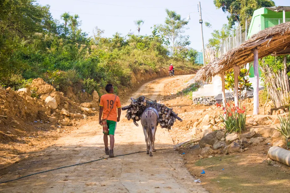
Israeli forces have sealed off Ras al-Ahmar, a Bedouin village of about 300 people in the northern Jordan Valley, cutting off trucked water deliveries during construction of a military barrier Israel calls Crimson Thread.
Access to the village has been blocked since mid-September 2026. The closure coincides with earthworks for the barrier, including a military patrol road, trenches and embankments that now separate the village from surrounding routes. Resident Saeed Ayed told Al Jazeera that no water had entered Ras al-Ahmar in the three days before its October 2, 2026 report, after Israeli forces sealed the access points used by supply vehicles Al Jazeera.
Ras al-Ahmar is home to about 50 families who have lived by livestock and herding since the 1970s. Ayed put the community's herds at 15,000 head of livestock, an economy that depends entirely on trucked water and fodder. Fodder is feed brought in for animals. On the Sunday before the October 2 report, Israeli forces confiscated a village council tractor and detained its driver while he was delivering water and animal fodder.
The closure has also interrupted schooling. Village council head Abdullah Bisharat told Al Jazeera that 51 schoolchildren were unable to attend classes for two weeks because vehicles could not reach Ras al-Ahmar.
The barrier itself runs roughly 20km through the northern Jordan Valley, with a width of up to 50 metres. Think of it as a fenced corridor with its own service road, built to control movement across a strip of land. Israel says it is needed for security. Figures attributed to the Israeli monitoring group Kerem Navot say the military seized nearly 115 hectares for the project, 85 percent of which is privately owned Palestinian land Al Jazeera. Al Jazeera had earlier described Crimson Thread in a July 18, 2026 feature as a new military barrier cutting off Palestinian communities in the Jordan Valley from their land Al Jazeera.
United Nations humanitarian monitors have recorded movement restrictions across the West Bank over the same period. Mapping by OCHA on April 23, 2026 recorded 925 movement obstacles across the West Bank, including East Jerusalem, the highest number recorded OCHA. In its humanitarian situation report published September 28, 2026, OCHA stated that 58 households in Ras al Ahmar and Khirbet Atuf had faced disrupted water access for over a month following reported settler damage OCHA.
The broader context here is how infrastructure and closure interact in a herding economy with no independent water network described in the reporting. When trucks cannot enter for two weeks, water, fodder, schooling and market access are restricted at once. Losing the council tractor matters in that setting because it removes the local vehicle for attempting the next delivery.
Looking at what this could mean for the Jordan Valley, the central question is durability. A patrol road with trenches and embankments fixes a line across grazing and supply routes. Diplomats and humanitarian planners will be watching whether water trucking resumes on a predictable schedule, whether school transport is restored, and whether the land seizure figures lead to legal challenge or compensation proceedings.


