Super Typhoon Bavi Bears Down on Guam and the Northern Marianas: A 72-Hour Escalation
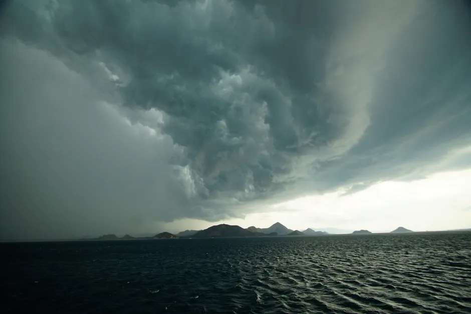
Guam's emergency management agency elevated the island to Condition of Readiness 2 (COR 2) around 10 p.m. local time on Saturday, July 4, 2026, as Super Typhoon Bavi closed in on the Western Pacific. COR 2 signals that destructive winds could arrive within 24 hours. The escalation capped a rapid three-day surge in alert status that began when a tropical depression was first upgraded to storm strength.
The storm intensified at an unusually steep pace. Tropical Depression 09W became a Tropical Storm on the morning of July 2, per GHS/OCD's initial advisory. By that afternoon, a follow-up forecast predicted continued strengthening and a track running between Guam and the Northern Mariana Islands. Two days later, it had become a Category 5 system — the highest classification. The Joint Typhoon Warning Center confirmed Super Typhoon status, reserved for sustained winds over 130 knots, a designation independently verified by NWS Guam via its Public Tropical Cyclone Advisory issued early on July 5.
At 1:00 PM local time on July 3, the storm's center sat near 12.7°N, 154.8°E, moving west at 15 mph, according to NWS Guam's Facebook advisory. Though the system remained well east of Guam, its westward course and intensifying strength left little doubt about the threat zone.
Guam's emergency declarations followed in layers. Executive Order 2026-04 declared a State of Emergency in advance of Bavi's approach. GHS/OCD Public Advisory No. 4, released July 3, placed the island at COR 3 and issued a Flood Watch. Advisory No. 5, released the next morning, confirmed Category 5 intensity, activated a Typhoon Watch for Guam, and maintained the Coastal Flood Watch. The evening shift to COR 2 narrowed the threat window sharply. NWS Guam simultaneously issued a Typhoon Warning, High Surf Advisory, Flood Watch, and Coastal Flood Watch — the full suite of hazard alerts.
The Northern Mariana Islands (CNMI) sat squarely in Bavi's forecast path. Yale Climate Connections reported on July 4 that the storm would pass near Tinian and Saipan as a Category 5 system on Sunday afternoon EDT. Reuters' tracking data, updated as of July 2, had forecast a similar passage over the Northern Marianas. The NOAC Yokosuka five-day forecast warned forces in the Okinawa region to prepare for rising winds and seas by Tuesday evening, a sign that the system's influence would extend well beyond the immediate impact zone.
Bavi is the third Category 5 typhoon of the 2026 Pacific typhoon season, per Yale Climate Connections. That pace arrives before the August-September climatological peak for Western Pacific storms. The operational reality for island emergency managers is stark: successive extreme storms compress the time available for recovery and place competing demands on the same pool of pre-positioned resources.
The practical actions under COR 2 follow a rehearsed protocol. Shelter-in-place directives, closures of ports and airfields, and coordination among GHS/OCD, FEMA Region IX, and U.S. Indo-Pacific Command assets define the next phase. NOAC Yokosuka advisories signal that military force protection measures across the region are adjusting in parallel. The speed at which Bavi weakens after passing the island chain—and whether it re-intensifies over warm ocean water before reaching the Philippine Sea—will determine what warnings follow.