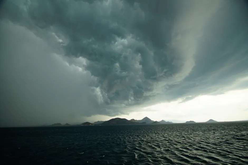
Super Typhoon Bavi Strikes the Mariana Islands: Rapid Intensification and Regional Fallout

Super Typhoon Bavi made landfall across the Mariana archipelago on July 6, 2026, after intensifying from a tropical disturbance to a Category 4 system with sustained winds of 155 mph in roughly 48 hours, according to reporting from BBC.
The storm tracked through the Southern Marianas at an unusually slow pace—only 8 mph as it approached—which extended the window of extreme wind and storm surge exposure for each island in its path. Marianas Variety reported Bavi was forecast to pass near Rota on the morning of July 6 before continuing west-northwest. Forecasters warned winds could intensify further to 160 mph before landfall. Typhoon warnings remained active for Guam, Rota, Tinian, and Saipan, signaling sustained winds of 74 mph or greater within 24 hours.
The speed of Bavi's intensification underscores a pattern increasingly common in the Western Pacific basin. Marianas Variety documented maximum sustained winds of 120 mph while the system remained east of Guam on July 3. Within 48 hours, winds had climbed to 155 mph—a gain of 35 mph that qualified Bavi for super typhoon status under Joint Typhoon Warning Center criteria. The U.S. Navy's Naval Oceanography Operations Command Yokosuka designated the system '09W' and tracked its projected path toward Okinawa, where outer circulation bands were expected to begin raising winds and seas by the evening of July 7.
Evacuations and Infrastructure Impacts
Hundreds of residents evacuated to shelters across the Marianas in advance of the storm's arrival, according to Marianas Variety. The Commonwealth Utilities Corporation, which manages power and water services across the CNMI, began issuing advisories on July 3. A July 4 advisory announced a scheduled water shutdown for Saipan on July 5. NMI News Service reported that CUC subsequently warned residents to expect power outages and service interruptions on Saipan between Sunday evening, July 5, and Monday, July 6—indicating storm-driven disruptions rather than precautionary measures. A July 5 CUC advisory urged residents to stay alert for potential safety hazards.
Fox Weather characterized the expected impacts as life-threatening, consistent with Bavi's wind intensity and the low-lying coastal geography typical of the Marianas, where storm surge presents the primary mortality risk in Western Pacific typhoons of this strength.
Federal Response
President Donald Trump approved an emergency declaration for the Commonwealth of the Northern Mariana Islands on July 3, 2026, according to FEMA. The declaration came one day after Bavi's effects began affecting the CNMI and unlocked federal resource deployment and FEMA's Public Assistance and Hazard Mitigation programs before the storm reached peak intensity. Pre-landfall emergency declarations are now standard for U.S. territories, though their effectiveness hinges on how quickly aid reaches communities afterward rather than the speed of the declaration itself.
With Bavi's center moving past the Southern Marianas as of July 6, the storm's trajectory carried it toward Okinawa. The Navy's five-day forecast issued from the July 5 position flagged conditions deteriorating in Okinawa by the evening of July 7. For the Marianas, the immediate priority is assessing damage and restoring utilities.
The compressed timeline between Bavi's formation as a tropical storm and its arrival as a super typhoon left island communities with limited preparation time. This vulnerability recurs across the Western Pacific, where rapid intensification over warm ocean waters has become routine rather than exceptional. Small island jurisdictions, with their constrained resources and limited evacuation options, face particular exposure to these fast-developing storms.