Kumamoto Earthquake: What a Shallow 7.1 Quake Means for Japan's People, Industry, and Recovery

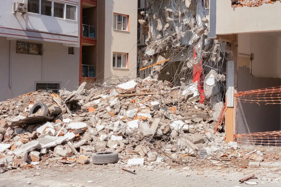
A 7.1-magnitude earthquake struck Kumamoto prefecture on July 28, 2026, at 4:27 p.m. local time (8:27 a.m. BST), producing a maximum intensity of 7 on Japan's Shindo scale and causing structural collapses, fires, and widespread disruption to roads and rail The Guardian. The Japan Meteorological Agency (JMA) recorded the quake's focal depth — the distance from the surface to the point where the fault rupture began — at just 10 kilometers.
The JMA initially issued a tsunami warning for a one-metre wave but later withdrew it. Rail services were halted and flights grounded across the affected region The Guardian. Heavy rain then fell in Nagoya, Aichi Prefecture, adding a second hazard to the immediate aftermath Reuters.
Police received reports of what sounded like an explosion at the Aeon Mall outlet in the Kumamoto region. In Kashima town, the shopping complex's second floor collapsed, trapping many people inside The Guardian. A witness, Kazuya Tsurunaga, told broadcaster TBS he heard an explosion while inside a pub about 300 metres from the mall and saw a large cloud of smoke The Guardian.
Several buildings were on fire or partially collapsed beyond the mall. Large cracks appeared on major roads, including an elevated highway The Guardian. Prime Minister Sanae Takaichi confirmed the government had assembled an 'Emergency Assembly Team' to coordinate the disaster response The Guardian.
The industrial impact was immediate. TSMC — the world's largest contract chipmaker — evacuated workers from its plant in the Kumamoto area as a precaution The Guardian. Sony and Fujifilm also evacuated staff from their local facilities The Guardian. The International Atomic Energy Agency (IAEA) said Japan's nuclear regulator reported no damage or safety concerns at the Sendai nuclear power plant The Guardian.
Japan's earthquake monitoring system is among the most extensive in the world. The JMA operates roughly 200 seismographs and 600 seismic intensity meters, and draws on data from over 3,600 additional meters run by local governments and the National Research Institute for Earth Science and Disaster Resilience (NIED) JMA. The data feeds in real time into the Earthquake Phenomena Observation System (EPOS) at JMA headquarters in Tokyo and the Osaka District Meteorological Observatory JMA. The agency's seismic intensity scale has 10 degrees, from 0 (imperceptible) to 7, with intermediate steps such as 5 lower, 5 upper, 6 lower, and 6 upper JMA. When a quake of intensity 3 or greater occurs, a Seismic Intensity Information report goes out within 90 seconds JMA.
The broader context here centers on Kumamoto's seismic history and the particular vulnerability of advanced manufacturing clusters to localized geological shocks.
The earthquake's shallow depth matters because a rupture only 10 kilometers underground releases its energy close to the surface, amplifying ground motion. That helps explain the Shindo 7 peak reading. On the JMA scale, Shindo 7 is the maximum — a level at which most buildings suffer severe to total collapse. The closest parallel is the 2016 Kumamoto sequence: a magnitude 6.5 foreshock followed two days later by a magnitude 7.3 mainshock, which killed 273 people and injured over 2,800. A magnitude 7.1 event in the same region in 2026 raises urgent questions about the underlying fault systems and the likelihood of aftershocks of similar size.
For industry and infrastructure, the simultaneous evacuations at TSMC, Sony, and Fujifilm reveal how tightly concentrated critical semiconductor and imaging supply chains are in this part of Japan. Even a brief shutdown at these plants can tighten global inventory buffers. The confirmed absence of damage at the Sendai nuclear plant is a crucial piece of good news, since it avoids a compounding radiological crisis on top of the seismic one. The heavy rainfall that followed in Nagoya adds another layer of risk: saturated ground sharply raises the chance of landslides and debris flows. Together with cracked roads and a damaged elevated highway, this points to a recovery phase that will be more complex than a standard post-earthquake structural assessment.