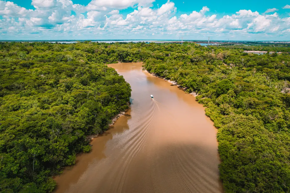
Laser Mapping Reveals Over 20,000 Ancient Earthworks Hidden Beneath the Amazon Rainforest
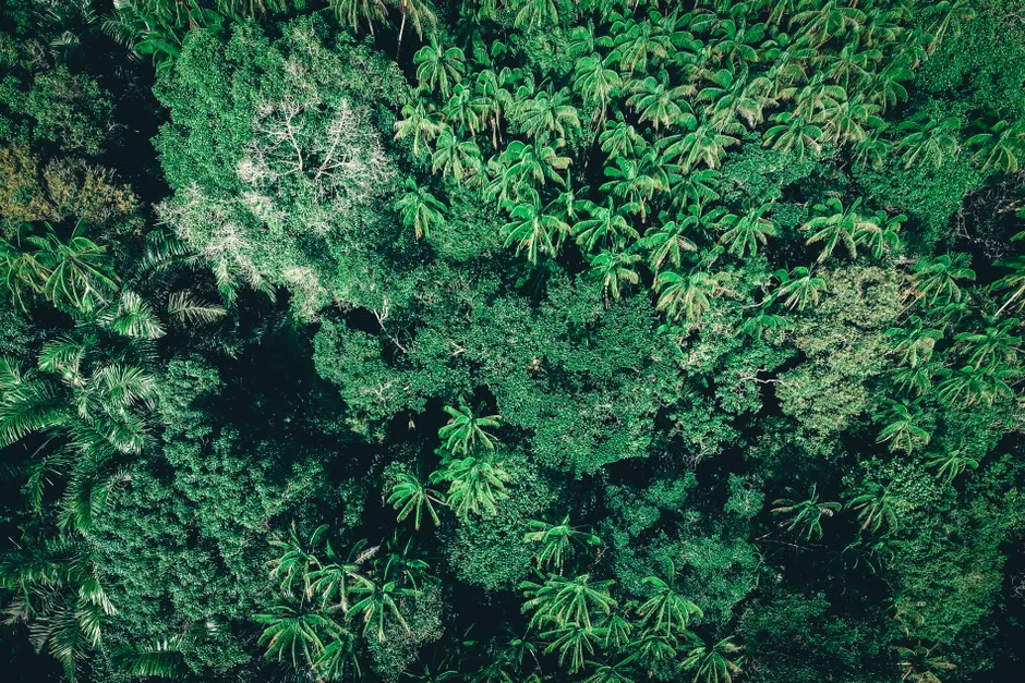
On July 29, 2026, a study published in the journal Nature reported the discovery of more than 20,000 precolonial earthworks across the southwest Amazon. The team used lidar — a technology that fires laser pulses from aircraft to measure distances to the ground, producing detailed 3D maps of the surface even through thick rainforest canopy. Many of these structures had gone undetected by ground-based surveys for decades.
The researchers classified most of the newly found structures as geoglyphs: large earthen formations arranged in geometric patterns such as circles, squares, and hexagons. These are concentrated in the border region of Brazil and Bolivia, and potentially in neighboring countries, according to Live Science. Science confirmed that lidar was the primary detection method and that the team identified most of the earthworks as geoglyphs.
The scale of the find far exceeds previous estimates. A 2023 study by V. Peripato et al., published in Science, had estimated that more than 10,000 pre-Columbian earthworks remained hidden across the Amazon basin. The new Nature study appears to have substantially surpassed that figure through systematic remote sensing. Before that, a 2017 PNAS study by J. Watling et al. had documented over 450 geometric ditched enclosures across roughly 13,000 km² of Acre state, Brazil, offering an early quantitative baseline for geoglyph density in the region. The trajectory from 450 structures in 2017 to over 20,000 in 2026 reflects not just incremental discovery but a methodological shift: lidar enables coverage of terrain that is either impenetrable on foot or has been degraded by deforestation before archaeologists can reach it.
The Max Planck Institute for Geoanthropology (MPI-GEA) had signaled the direction of this research in an October 2023 press release titled "Amazonian Rainforest Hides Thousands of Records of Ancient Indigenous Communities Under Its Forest Canopy." A subsequent Mongabay report in December 2023 noted that researchers had identified 24 previously unreported pre-Columbian earthworks in the Amazon, connecting the archaeological findings to contemporary Indigenous land struggles. Earlier in 2026, Daniel Pierce and Christopher Bodine used lidar data to uncover geoglyphs deep in the Amazon, as reported in February 2026, adding to a growing body of independent and institutional efforts deploying remote sensing in the region.
The broader context here is a sustained reevaluation of precolonial Amazonian demography and social complexity. For most of the twentieth century, the prevailing view held that the Amazon's nutrient-poor soils — particularly oxisols and ultisols, the heavily weathered tropical soil types that dominate the basin — could not support the dense, settled populations necessary for monumental earthwork construction. The successive geoglyph surveys, from Watling's 450 enclosures in Acre to the current inventory of over 20,000 structures, have steadily eroded that model. The density of earthworks in the southwest Amazon implies landscape modification at a scale consistent with substantial, organized, and possibly hierarchical societies operating over long time horizons.
The geoglyphs themselves remain functionally debated. Interpretations range from ceremonial or ritual centers to defensive enclosures, water-management infrastructure, and territorial markers. The new Nature dataset, given its scope, may provide the statistical power to test competing hypotheses about geoglyph function by examining spatial relationships between sites, their proximity to water sources, and variations in geometric form across sub-regions.
There are also conservation stakes. Many earthworks lie in actively deforested zones; some are likely destroyed before documentation. The lidar record, in this sense, functions as a preservation instrument: it captures an archaeological baseline that ground conditions may not maintain. The overlap between ancient earthwork distributions and contemporary Indigenous territories, as Mongabay reported, also situates these findings within ongoing disputes over land tenure and resource rights in the Amazon basin.
The study does not resolve questions about which specific precolonial populations built the earthworks, over what chronological span, or through what labor organization. What it does is establish an empirical floor — over 20,000 structures, mapped at scale — that any future reconstruction of Amazonian precolonial history must account for.