Twin Earthquakes Strike North-Central Venezuela, Killing at Least 32

Two earthquakes — magnitude 7.2 followed less than a minute later by a magnitude 7.5 — struck north-central Venezuela on June 24, 2026, killing at least 32 people and triggering a state of emergency, according to Reuters. Reuters also reports high casualties are likely as damage assessments continue.
The epicenters were located near San Felipe, approximately 160 km west of Caracas, with the 7.5-magnitude event placing its hypocenter 28 km southeast of Yumare, per USGS. The near-simultaneous rupture — two M7+ events within seconds of each other on the same fault system — is seismologically unusual and compounded the destructive load on regional infrastructure far beyond what either event alone would have produced.
Immediate Impact
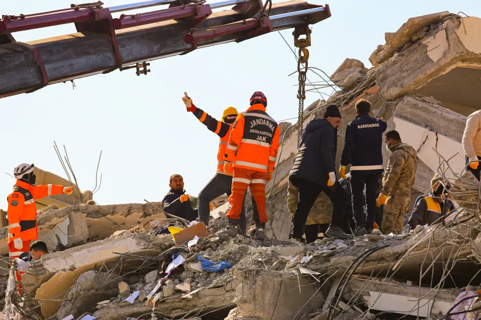
Buildings partially collapsed in multiple localities. CNN reported structural failures in Catia La Mar and La Guaira, the densely populated coastal corridor that serves as Caracas's maritime gateway. Power and telecommunications networks suffered widespread interruptions across the affected region, according to ReliefWeb, hampering both the coordination of emergency response and the flow of casualty information.
Tsunami alerts were briefly issued following the quakes, Reuters reported, reflecting standard protocol for submarine or near-coastal seismic events of this magnitude in the Caribbean. The alerts were subsequently lifted, though the activation itself will have driven evacuations in low-lying coastal zones and added logistical friction to the opening hours of the response.
Search and rescue operations were activated across the affected area, per ReliefWeb, with the Venezuelan government declaring a state of emergency, according to LogCluster.
Why the Death Toll May Rise
The 32 confirmed fatalities reported by Reuters as of June 24 are almost certainly an undercount. In events of this magnitude, the initial figure reflects only deaths where bodies have been reached and recorded — not those trapped under rubble in areas where communications are down. The combination of sequential high-magnitude ruptures, building collapses in a coastal urban corridor, and the telecommunications blackout creates precisely the conditions under which casualty counts revise sharply upward over 48–72 hours.
Venezuela's broader infrastructure context adds weight to that concern. Chronic underinvestment in building standards enforcement and years of economic contraction have left much of the country's housing stock — particularly older concrete-frame construction — poorly positioned to absorb a sustained seismic sequence. La Guaira and Catia La Mar, already among the most densely built areas near the capital, sit on terrain that can amplify ground motion.
Response and Coordination Outlook
The state of emergency declaration gives the Maduro government the legal architecture to mobilize military resources, restrict movement, and accept international assistance without going through standard procurement channels — a procedural tool that matters when hours count. Whether that legal bandwidth translates into effective coordination depends on the state of Venezuela's civil protection apparatus, which has been strained by years of resource scarcity.
The LogCluster activation is a signal that humanitarian coordination mechanisms are being stood up. LogCluster — the UN's humanitarian logistics cluster — typically deploys in environments where national logistics capacity is overwhelmed or degraded. Its early engagement here suggests that at least some international actors assess the response gap as significant.
International offers of assistance will follow, but Venezuela's political environment complicates their delivery. Bilateral tensions with the United States, and a general wariness within the Maduro government about the terms attached to Western aid, have historically slowed the acceptance and routing of external relief. Regional partners — Cuba, Russia, China — operate under fewer political friction points, but their surge capacity for disaster response is limited compared to U.S. or European civil protection agencies.
The seismic hazard in this corridor is well-documented. The El Pilar and Boconó fault systems, which accommodate the relative motion between the Caribbean and South American plates, run broadly through north-central Venezuela. A sequence of this scale near San Felipe and Yumare is consistent with stored stress release along or near the Boconó system. The immediate priority remains life safety and structural assessment of the La Guaira coastal zone — a critical node that, if significantly damaged, would constrain the import logistics Venezuela depends on.