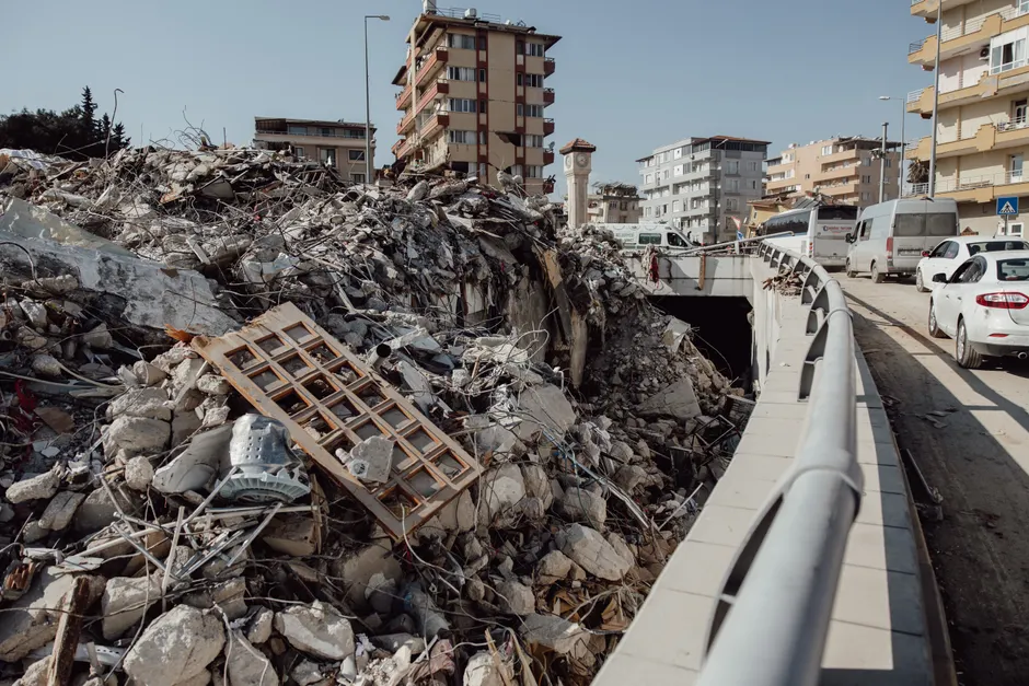
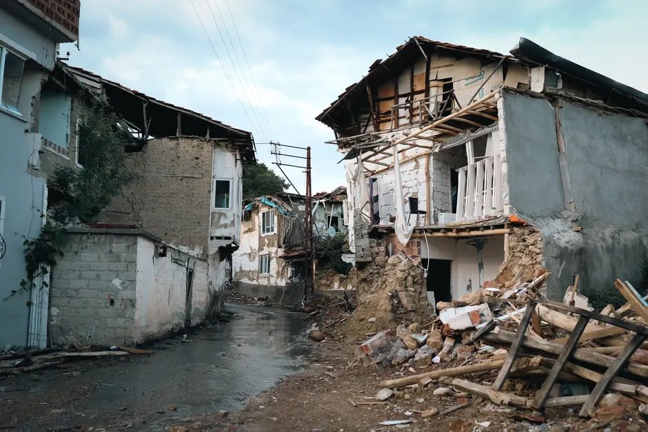
Twin Major Earthquakes Strike Venezuela; State of Emergency Declared

Two earthquakes of M7.2 and M7.5 struck Venezuela on June 24, 2026, less than a minute apart, triggering an immediate state of emergency from President Nicolás Maduro Rodríguez and drawing an early U.S. offer of assistance. USGS placed the larger event 28 km southeast of Yumare — a town in Yaracuy state, roughly 200 km west of Caracas — in a seismically active corridor along the South American–Caribbean plate boundary.
The USGS PAGER alert for the M7.5 assessed high probability of significant casualties and structural damage, the agency's strongest categorical warning. At that magnitude and shallow focal depth typical of Caribbean subduction and transform zones, ground motion can be severe across a wide radius. Yumare sits inland from the coast, and the surrounding Yaracuy valley contains both urban centers and informal settlements whose adobe and unreinforced masonry construction is acutely vulnerable to lateral shaking.
A sequenced doublet of this kind — two M7+ ruptures within seconds of one another — is seismologically uncommon but not unprecedented along complex, segmented fault systems. Whether the M7.2 was a foreshock to the M7.5 or the two ruptured nearly simultaneously on adjacent fault segments will require waveform analysis; the practical consequence either way is that emergency responders face a search-and-rescue environment shaped by at least two distinct peak-shaking events, potentially with different epicentral damage footprints.
Reuters reported that President Rodríguez declared a nationwide state of emergency on June 25, 2026, without releasing a confirmed death toll. The absence of an initial figure is not unusual in the first hours after a major seismic event — search and rescue operations are still active, hospital systems are processing casualties, and communications infrastructure in affected areas is often degraded. What it does mean operationally is that outside governments and international agencies are calibrating their response against the USGS probabilistic casualty model rather than confirmed ground-truth numbers.
That calculus is already moving. Reuters reported on June 25 that Washington announced it was mobilizing assistance — a notable development given the near-complete breakdown in U.S.–Venezuela diplomatic relations over the past decade. The U.S. has no ambassador in Caracas; formal channels run through third-party intermediaries. Disaster diplomacy has occasionally opened narrow windows in precisely these conditions, though Venezuela's government has historically been selective about accepting U.S. aid, treating the framing of offers as a sovereignty and political signaling question alongside a humanitarian one.
Venezuela's emergency response capacity is severely constrained by years of economic contraction, sanctions exposure, and chronic underinvestment in civil infrastructure. FONDEN, the national development fund once used to finance large-scale disaster response, has been largely depleted. The Venezuelan Red Cross and PAHO/WHO maintain in-country presence, but the scale of a dual M7+ event will almost certainly exceed domestic capacity in the near term, making international coordination — and the political decisions surrounding who accepts aid from whom — a central variable in the humanitarian outcome.
The broader seismic context matters here. Venezuela's northern margin traces the right-lateral El Pilar fault system and associated structures where the Caribbean plate moves eastward relative to South America. Historical precedent is sobering: the 1812 Caracas earthquake, estimated at around M7.7, killed thousands and collapsed much of the colonial city. The 1967 Caracas earthquake (M6.5) caused major structural failures in modern reinforced-concrete buildings, exposing construction standards that still inform — or should inform — building codes across the region. Yaracuy and its neighboring states have seen damaging earthquakes before, though a doublet of this magnitude in rapid succession is at the more extreme end of recorded local seismicity.
Confirmed casualty figures, damage assessments, and the geographic extent of infrastructure failure will sharpen considerably over the next 24 to 72 hours. The USGS ShakeMap and follow-on field reconnaissance will refine the rupture picture. For now, the operative facts are a high-probability mass-casualty event, a government that has declared emergency authority without yet quantifying the toll, and an international community — including a geopolitical adversary — already moving resources toward a country with limited capacity to absorb the blow on its own.