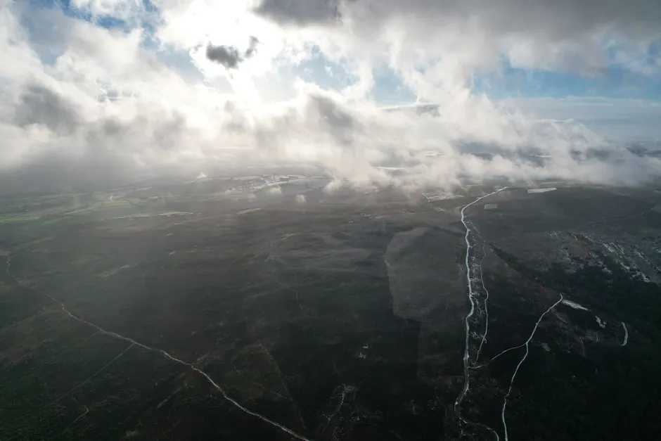
AI-Equipped Drone Locates Two Missing Hikers in Kosciuszko National Park

Fire and Rescue NSW located two missing hikers in Kosciuszko National Park on 25 June 2026 using an AI-equipped drone fitted with thermal imaging, according to Fire and Rescue NSW. Members from the Jindabyne Fire Station launched the drone and conducted the search operation across the Snowy Mountains terrain.
The Snowy Mountains present a particular set of challenges for search and rescue. Kosciuszko National Park covers roughly 6,900 square kilometres of alpine and subalpine country — heavily forested in lower sections, exposed and featureless at elevation — where ground-based search teams can cover only limited ground per hour, especially in winter conditions. Thermal imaging addresses one of the core problems: a person sheltering in dense scrub or a depression is largely invisible to a visual sweep, but body heat registers clearly against cold ground.
The AI layer matters operationally. A drone operator reviewing a raw thermal feed in real time faces significant cognitive load: distinguishing a human heat signature from a rock warmed by residual solar radiation, a wombat, or a campfire ember requires sustained attention and experience. AI-assisted classification filters and flags candidate signatures automatically, compressing the time between detection and confirmation. In a fast-moving search where a subject's condition may be deteriorating — hypothermia risk is acute in the Snowy Mountains at this time of year — that compression can determine the outcome.
ABC News confirmed the Jindabyne crew's role in the operation. Jindabyne sits at the main gateway to the Kosciuszko high country, making it the natural staging point for alpine emergencies in the region.
The use of drone-based search capability by a fire and rescue agency rather than a dedicated wilderness search-and-rescue unit reflects how the operational lines between emergency services have shifted as drone technology has matured. Fire agencies in Australia have invested systematically in uncrewed aerial systems over the past several years, building in-house pilot and operator cadres capable of deploying for non-fire incidents. The ability to launch a capable ISR — intelligence, surveillance, and reconnaissance — asset from a local station without waiting on specialist aviation resources shortens the critical early phase of a missing persons response considerably.
The outcome here is a clean success. Two hikers located, presumably in reasonable enough condition to be recoverable once found. What the available reporting does not detail is the timeline: how long the hikers had been missing before the drone was deployed, how long the aerial search took, and what ground resources were positioned to extract them once identified. Those operational specifics matter for evaluating the technology's contribution relative to conventional methods — and they are the kind of data that informs future deployment doctrine.
The broader trajectory is toward tighter integration of AI-assisted aerial surveillance into routine emergency response, not as a supplementary capability but as an early-activation default. As the cost of capable thermal drones continues to fall and AI classification models improve on edge hardware, the calculus for when to launch shifts from a resource-conservation question to a near-automatic protocol trigger. Kosciuszko is a useful data point in that evolution.