Super Typhoon Bavi Triggers COR 2 for Guam, Targets Northern Marianas as Third Cat 5 of 2026
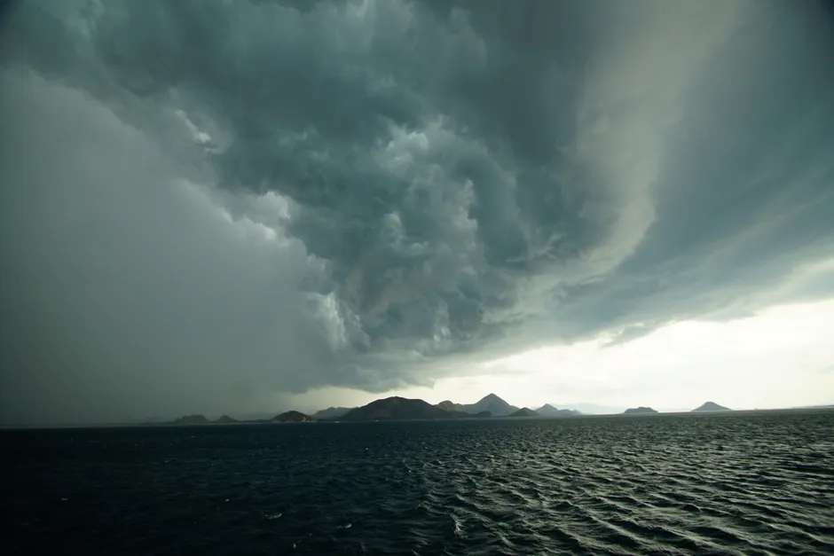
Guam Homeland Security/Office of Civil Defense elevated the island to Condition of Readiness 2 at approximately 10 p.m. ChST on Saturday, July 4, 2026, as Super Typhoon Bavi (09W) bore down on the Western Pacific. The upgrade, announced via Joint Information Center Release No. 1, followed a rapid escalation of emergency posture that unfolded over roughly 72 hours.
The storm's intensification trajectory was steep. Tropical Depression 09W was upgraded to Tropical Storm status on the morning of July 2, 2026, per GHS/OCD's initial advisory. By the afternoon of that same day, a second advisory forecast the system would continue strengthening and likely thread the corridor between Guam and the Northern Mariana Islands. By July 4, it had become a Category 5 typhoon. The Joint Typhoon Warning Center designation of "Super Typhoon" — reserved for systems with one-minute sustained winds exceeding 130 knots — was confirmed by NOAC Yokosuka's meteorological service and independently by NWS Guam, which issued its Public Tropical Cyclone Advisory at 3:07 AM UTC on July 5.
At 1:00 PM ChST on July 3, the storm's center was fixed near 12.7°N, 154.8°E, tracking west at 15 mph, per NWS Guam's Facebook advisory. That position placed it well east of Guam, but the westward heading and forecast intensification left little ambiguity about the threat corridor.
Guam's emergency declarations layered in sequence. Executive Order 2026-04, declaring a State of Emergency effective immediately, was issued in anticipation of Bavi's approach. GHS/OCD Public Advisory No. 4, published July 3, placed the island at COR 3 and issued a Flood Watch. Advisory No. 5, released July 4 at 0900 ChST, confirmed Category 5 intensity and put a Typhoon Watch in effect for Guam alongside a continuing Coastal Flood Watch. The shift from COR 3 to COR 2 later that evening tightened the threat window; COR 2 indicates destructive winds are possible within 24 hours. NWS Guam concurrently issued a Typhoon Warning, High Surf Advisory, Flood Watch, and Coastal Flood Watch — a full suite of hazard products.
The CNMI sits directly in Bavi's projected path. Yale Climate Connections, reporting on July 4, placed the storm's passage near Tinian and Saipan on Sunday afternoon U.S. EDT as a Category 5 system. Reuters tracked the same forecast as of July 2, anticipating landfall-proximate passage over the Northern Marianas on Friday — an early track estimate that the storm's pace and trajectory subsequently refined. The NOAC Yokosuka five-day forecast warned Okinawa-area forces to expect increasing winds and seas by Tuesday evening, indicating the system's reach well beyond the immediate impact zone.
Bavi is the third Category 5 storm of the 2026 Pacific typhoon season, per Yale Climate Connections — a benchmark that arrives in early July, before the climatological peak of the Western Pacific season in August and September. Whether that pacing reflects a statistically anomalous season or falls within historical variance will occupy post-season analysis, but the operational reality for island emergency managers is immediate and concrete: back-to-back extreme storms compress recovery windows and draw on the same pre-positioned resources.
For Guam and the CNMI, the practical calculus under COR 2 and active Typhoon Warning is well-rehearsed but unforgiving. Shelter-in-place compliance, port and airfield closures, and coordination between GHS/OCD, FEMA Region IX, and U.S. Indo-Pacific Command assets define the next operational phase. The Navy's NOAC Yokosuka advisories signal that force protection posture across the region is adjusting in parallel. How quickly Bavi weakens after clearing the island chain — and whether it re-intensifies over warm open water before reaching the Philippine Sea — will determine the next set of warnings.