Tropical Storm Bertha Strengthens Over Gulf of Mexico, Takes Aim at Northern Gulf Coast

Tropical Storm Bertha intensified over the Gulf of Mexico on July 21, 2026, tracking slowly toward the Florida Panhandle and Alabama with maximum sustained winds of 60 mph, prompting tropical storm warnings from the Florida-Alabama border to the Jefferson-Plaquemines parish line in Louisiana.
As of Tuesday afternoon, Bertha was positioned approximately 125 miles (201 km) southeast of Mobile, Alabama, moving northwest at 5 mph (8 km/h). The storm's sustained winds had increased by 20 mph since its formation as a tropical depression off the Gulf Coast of Florida on July 19. The system organized into a tropical storm on the evening of July 20 and continued gaining strength through the following day. The National Hurricane Center issued its first advisory (Advisory 1) on Sunday, July 19 at 1500 UTC, followed by nine sequentially numbered advisories and nine intermediate public advisories at three-hour intervals through July 21 (NHC archive).
The NHC's Advisory Number 9, issued at 1500 UTC (10:00 AM CDT) on July 21, upgraded the Tropical Storm Watch to a Tropical Storm Warning for the Florida/Alabama border area, extending eastward to the Bay/Gulf County Line. As of that advisory, Bertha was moving north-northwest at 345 degrees at 3 knots (NHC Advisory 9). Earlier in the day, Advisory Number 8a at 700 AM CDT reported Bertha moving northwest at 320 degrees with a minimum central pressure of 29.44 inches of mercury (NHC Advisory 8a). A storm surge watch was issued from the Alabama-Florida border to the mouth of the Mississippi River, and marine warnings remained in effect for the Gulf and Eastern Pacific (NHC homepage).
The NHC warned of potentially life-threatening storm surges of up to 4 feet (1.2 meters) in portions of Louisiana, Alabama, and Florida. Bertha was expected to remain near or along the northern Gulf coast, dropping heavy rain across coastal areas of Florida, Alabama, Mississippi, and Louisiana while pushing west toward Texas. Rainfall totals of 3 to 5 inches (7 to 12 cm) were forecast along the Louisiana coastline, with higher amounts in scattered areas. Flash flooding was possible through Friday along the coast from western Florida to middle Texas. The NHC also cautioned that Bertha could spin off an isolated tornado or two over the Florida Big Bend region.
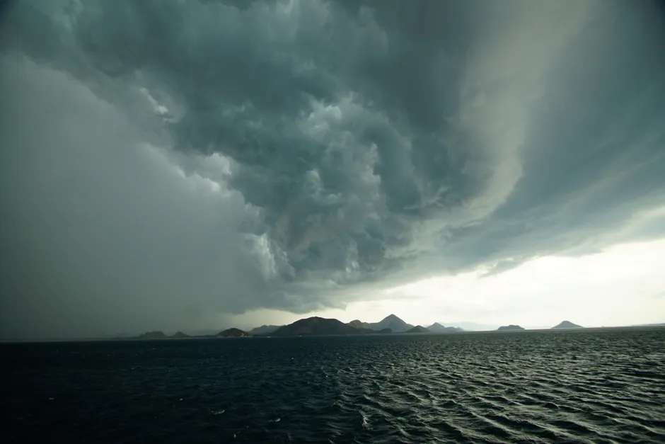
Reuters noted that Bertha exhibited a decidedly asymmetrical, lop-sided appearance on July 21 as it tracked along the U.S. Gulf Coast, a structural feature that often signals wind shear displacing convection from the circulation center and can complicate rainfall distribution forecasts.
On the ground, preparations were underway in vulnerable coastal communities. Red flags were posted on the beach at Orange Beach, Alabama, warning swimmers of high surf and dangerous currents. In Escambia County, Florida, emergency officials provided sand to residents in flood-prone areas for sandbag use.
Bertha is the second named tropical storm of the 2026 Atlantic hurricane season. Tropical Storm Arthur, the first, brought heavy rainfall to the southeastern United States in June. NOAA's seasonal outlook, published May 21, predicted a 35% chance of a near-normal season, placing Bertha's development within the range of expected early-season activity (NOAA).
The broader context here is one of slow-moving Gulf systems that maximize rainfall and surge exposure even at tropical-storm intensity. Bertha's forward speed of just 5 mph means prolonged onshore flow along the northern Gulf shelf, which amplifies storm surge beyond what wind speed alone would suggest. The asymmetry Reuters flagged also matters operationally: the heaviest rainfall may fall well east or west of the center, complicating evacuation and resource pre-positioning decisions for emergency managers across four states. With the system expected to linger along the coast through Friday, the cumulative rainfall threat may ultimately prove more consequential than the wind hazard, particularly for low-lying areas in Louisiana and Mississippi that are still assessing drainage capacity after earlier summer precipitation.