A Earthquake Hit Peru's Mountains — Here's What We Know

An earthquake shook Peru's Andes mountains on July 19, 2026, killing at least five people, injuring more than 20, and damaging or affecting about 300 homes, according to Peruvian authorities cited by the Associated Press (ABC News, KOIN).
Peru's emergency agency, known as INDECI, said the center of the earthquake was in a small district called Chongos Bajo. INDECI's emergency team, called COEN, published two updates over the course of the day — one at 00:50 and another at 07:50. Both listed the earthquake's strength at magnitude 5.1 (INDECI COEN).
You might notice that number is different from the magnitude 5.5 reported by the Associated Press. That kind of gap is actually common. International news outlets often get their early numbers from global monitoring networks like the U.S. Geological Survey, before local agencies finish their own calculations.
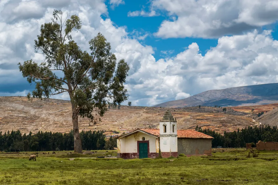
Chongos Bajo is in Peru's central highlands, a region that sits along a belt of earthquake activity. The earth's surface is made up of large pieces called tectonic plates. In this area, one plate (the Nazca Plate) is slowly sliding underneath another (the South American Plate). That pushing and grinding creates earthquakes. A magnitude 5.5 earthquake is moderate by global standards, but it can cause serious damage in mountain communities where many homes are built from adobe, a type of sun-dried brick, and building safety rules are not always enforced.
The Associated Press, drawing on Peruvian authorities, reported at least five dead and more than 20 injured. About 300 homes were damaged or affected (ABC News). INDECI's reports on its emergency portal serve as the official government record of the event, though the specific numbers in those internal reports were not independently verified for this article (INDECI COEN).
The two COEN reports, issued about seven hours apart, show that the damage assessment was still unfolding. The first report was an early-hours snapshot. The second added new information as the situation developed. INDECI uses these numbered reports to pile updated details — revised casualty counts, damage checks, and where rescue teams have been sent — on top of the first emergency alert.
The broader context here matters for understanding what comes next. Peru has faced major earthquakes before, including a devastating magnitude 8.0 quake in Pisco in 2007 and a magnitude 8.4 quake in Arequipa in 2001. Those experiences shaped the country's current disaster-response system, which runs through COEN. The agency does more than share information: its reports set off coordinated responses involving the Ministry of Health, the Ministry of Housing, and regional governments, especially when damage is serious enough to require safety inspections. For a mountain district, 300 damaged homes can overwhelm local officials who may not have enough heavy equipment or good roads to reach everyone quickly.
The difference between INDECI's magnitude of 5.1 and the AP's 5.5 is worth noting, not because one is wrong, but because the number people hear can shape how serious they think the disaster is. That, in turn, can affect public pressure on authorities to respond. INDECI's figure, as Peru's official agency, will likely be the one used for any government emergency declarations or funding decisions.
Whether the death toll stays at five or goes higher will depend on several things: whether rescue teams can reach collapsed buildings, whether water and power systems in rural areas are still working, and how fast INDECI's teams can go door to door in scattered mountain communities. If COEN follows its usual pattern, the next reports should give a fuller picture of the damage within 48 to 72 hours of the earthquake.