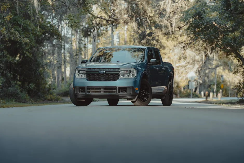
Ford Is Putting Apple Maps Right Into Its Cars — No iPhone Needed
Ford announced on July 23, 2026 that it will build Apple Maps directly into its new electric vehicle platform, called the Universal Electric Vehicle (UEV) Platform. This means Apple Maps becomes a built-in feature of the car itself, not something you mirror from your phone. The first car built on this platform will be a midsize pickup truck priced at $30,000, coming in 2027 (The Verge).
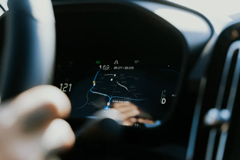
The built-in Apple Maps will give turn-by-turn directions using voice commands, live traffic updates, detailed information about places you search for, and multiple route options. Drivers will not need an iPhone connected to the car to use it. CarPlay, Apple's phone-to-car screen system, will still be available alongside the built-in Apple Maps (The Verge).
On the electric-vehicle side, the car will use Apple Maps for smart routing, including something called battery preconditioning. This means the car warms up its battery before you arrive at a fast-charging station, which speeds up the charging process. So Ford is using Apple's map data not just for showing you where to go, but to help the car manage its own energy use (The Verge).
The partnership also covers driver-assistance technology. Ford is working with Apple to build the next version of its BlueCruise system, which lets drivers take their hands off the wheel on highways. The new version will use road details from Apple Maps to support hands-free driving from the moment you enter a highway to the moment you exit. Ford's Latitude AI team is separately developing a more advanced system that would let drivers take their eyes off the road entirely, with a target of 2028 (The Verge).
For the hands-free driving to work, the car needs a very detailed advance picture of the road ahead, including lane-level detail, so its cameras and sensors have a head start. Ford is getting this detailed road information from Apple rather than building it entirely itself or going to a company that specializes in high-definition maps. That is a notable choice for an automaker working toward increasingly automated driving.
The part that caught my attention is the decision to build Apple Maps into the car without requiring a connected iPhone. It suggests Apple is licensing its maps technology to Ford as a core part of the vehicle, not just extending the iPhone's reach onto a car screen. If Ford ships this at a $30,000 price point on a mass-market pickup, Apple Maps will be running in vehicles owned by people who may never own an Apple phone.
Automakers have turned to large technology companies for navigation help before. But the scope here is wider than a typical deal. Ford's UEV Platform is its dedicated electric-vehicle architecture, and Apple Maps is being built into it from the ground up, covering consumer navigation, battery management, and driver-assistance data.
The 2028 target for Ford's eyes-off driving system is aggressive but not unheard of. The use of Apple Maps road data in the next BlueCruise system suggests a step-by-step approach: improved hands-free driving first, with the more advanced system following on its own timeline.
The question I will be watching is whether Apple's map data is accurate and up-to-date enough for the safety-critical job of helping a car drive itself. Regular navigation maps and the highly detailed maps needed for automated driving exist at different levels of precision. Ford is betting that Apple's mapping system can handle both.
The $30,000 pickup arriving in 2027 will be the first real test of whether that bet pays off.