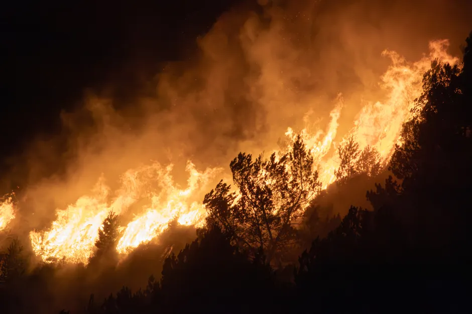
Massive Wildfires Force 60,000 People to Flee Spokane, Washington

Wildfires in eastern Washington state forced 60,000 people to leave their homes in the Spokane area as of August 3, 2026. At least 600 homes, businesses, and other buildings were destroyed, according to authorities (Al Jazeera). The fires, called the Spokane Complex Fire, burned about 21 square kilometres (8 square miles) over the weekend of August 1–2, 2026, and were still not under control as of August 3. Spokane Mayor Lisa Brown called the blaze the region's worst natural disaster (MyNorthwest).
The Spokane fires are part of a larger wildfire crisis across Washington state. Roughly 1,000 square kilometres (386 square miles) have burned across the state. Several fires, including those in the Spokane area, had not been contained as of August 3. Containment means firefighters have built barriers around a fire to stop it from spreading. Zero percent containment means the fire is still growing freely. Fire and law enforcement officials reported no injuries or missing people, though the response was still in its early stages. Investigators had not yet determined how the fires began.
Earlier data from the Washington Department of Natural Resources wildfire portal, current as of August 1, showed a Spokane County fire at 4,211 acres burned with 0% containment and Level 3 evacuations in effect, alongside another Spokane County fire at 3,500 acres with 0% containment (Washington DNR). Level 3 evacuations are the most urgent kind, meaning residents are told to leave immediately. The DNR dashboard, active throughout fire season, provides continuously updated incident information for the state (Washington DNR).
Senator Maria Cantwell said on August 3 that the Spokane area was not out of danger and that the next couple of days would be challenging. Her warning points to how unpredictable this fire season is. In 2025, 182,969 acres burned across Washington, according to the DNR's annual wildfire suppression report. That same report documented the Lake Spokane Fire, which burned over 2,500 acres in the same geographic zone now facing a far more destructive event.
The regional scope extends well beyond Spokane. A fire spanning western Idaho and eastern Oregon burned nearly 1,360 square kilometres (525 square miles) of grassland and threatened more than 600 homes and 800 other structures as of August 3. In central Utah, a fire more than doubled in size over the August 1–2 weekend, growing from about 41 square kilometres (16 square miles) to 145 square kilometres (56 square miles), and killed more than 100 cattle.
The broader context here is a wildfire season straining resources across multiple states at the same time. Think of firefighting crews and equipment as a shared pool of resources. When large fires break out in Washington, Oregon, Idaho, and Utah all at once, those resources get stretched thin across all four states. The Spokane Complex Fire alone has displaced a population roughly the size of a mid-sized city. The loss of more than 100 cattle in Utah adds an agricultural dimension, compounding economic damage beyond destroyed buildings. With containment at zero percent in the Spokane area fires and the cause still unknown, where this disaster goes from here depends on weather conditions, how resources are allocated, and whether investigators can identify how the fires started quickly enough to help prevent future ones. Mayor Brown's description of the Spokane Complex Fire as the region's worst natural disaster will likely shape local emergency planning and federal disaster declarations in the weeks ahead.