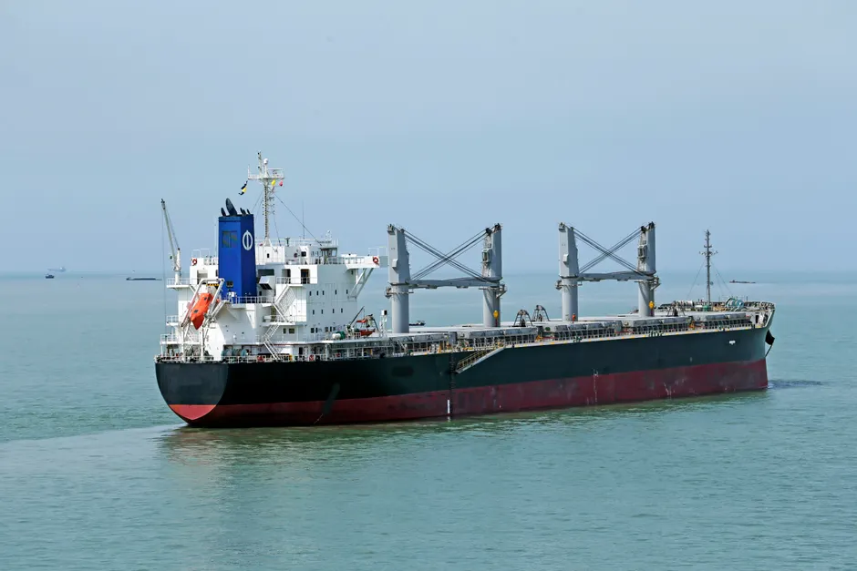
Oil Spill From Sanctioned Russian Tanker Tests Oman's Coastline and Accountability

Oman is racing to contain an oil spill covering nearly 400 square kilometres off its southern coast, with the slick now within about 7 kilometres of shore, the Oman Environment Authority reported on August 10, 2026 (Al Jazeera).
The spill is concentrated around the Hallaniyat archipelago, a group of islands where Sultan Haitham bin Tariq Al Said created a marine reserve the previous year. The proximity to a recently protected area raises the ecological stakes of the containment effort. Greenpeace and PAX told AFP that the stricken tanker, the Caroline Bezengi, was carrying roughly one million barrels of crude oil bound for Asia.
The Caroline Bezengi loaded its cargo at Russia's Black Sea port of Novorossiysk in April and passed through the Suez Canal at the end of May. According to an AFP investigation, the vessel had been stranded since early June near Oman's al-Qibliyyah Island after an explosion let water into several sections of the ship. Video footage obtained by Reuters appears to show the tanker still positioned just off al-Qibliyyah, about 25 nautical miles south of Oman's coast (Maritime Executive).
The Caroline Bezengi is believed to be part of Russia's so-called "shadow fleet" — a loose network of vessels used to move Russian oil past Western sanctions. Sanctions are government-imposed restrictions that limit trade with a targeted country or entity; in this case, the United States, European Union, and their partners restricted dealings with Russian oil to pressure Moscow over its war in Ukraine. The tanker itself is subject to sanctions imposed by the European Union, Ukraine, the United Kingdom, Canada, and Switzerland. Shipping databases list its owner as Rentoor Shipmanagement, a Shanghai-based company that could not be reached for comment (Al-Monitor).
The spill has been tracked through satellite imagery for weeks. On July 17, Reuters reported that the Caroline Bezengi was leaking oil near Oman, citing satellite images and experts. By July 31, Reuters reported the spill was spreading. Greenpeace estimated the slick at roughly 600 square kilometres the week before August 10, based on satellite imagery analysis. Satellite imagery reviewed by the Associated Press confirmed crude oil leaking from the grounded tanker (ABC News). The difference between Greenpeace's 600 km² estimate and Oman's current figure of nearly 400 km² may reflect different measurement methods, varying satellite coverage windows, or natural dispersion of the slick over time.
The broader context here is the structural risk that the shadow fleet poses to coastal states along some of the world's busiest shipping lanes. Vessels operating outside conventional insurance, classification, and flag-state oversight — the system by which a country registers and regulates a ship — carry elevated operational risk. When incidents occur, the chain of accountability is fragmented across shell companies, flags of convenience (where a ship is registered in a country different from its owner's), and opaque ownership structures. The Caroline Bezengi's journey, from a sanctioned Russian oil terminal through the Suez Canal to a stranding off Oman's coast, illustrates how far that risk can travel.
For Oman, the spill touches both environmental and economic priorities. The Hallaniyat marine reserve was established to protect biodiversity in a region where fishing and coastal tourism matter to the local economy. A spill approaching shore in a protected zone would test Oman's containment capacity and could raise compensation questions complicated by the vessel's sanctioned status and the difficulty of identifying a liable party. Rentoor Shipmanagement's silence, while not a position in itself, points to the practical challenge of pursuing cleanup costs from an entity embedded in the shadow-fleet ecosystem.
The incident also raises questions about early warning and intervention. The explosion on the Caroline Bezengi was reported roughly a month before the spill was publicly documented through satellite imagery. The gap between the structural failure and the international response points to the limited visibility that coastal states have into vessels transiting their exclusive economic zones — the waters extending up to 200 nautical miles from shore where a country has special rights over resources — when those vessels operate outside standard tracking and reporting protocols.
What remains unresolved is the full environmental outcome. The slick's proximity to shore, its location within a protected archipelago, and the volume of crude believed to be aboard the vessel all point to a long and difficult containment and cleanup effort. The tanker remains aground, and the extent of continued leakage has not been independently quantified beyond satellite estimates.