Tristate Flash Floods: 7 Inches of Rain, Stranded Drivers and Rail Delays

Flash flooding hit parts of New York, New Jersey and Connecticut on Sunday, stranding drivers, forcing water rescues and disrupting road and rail travel. BBC
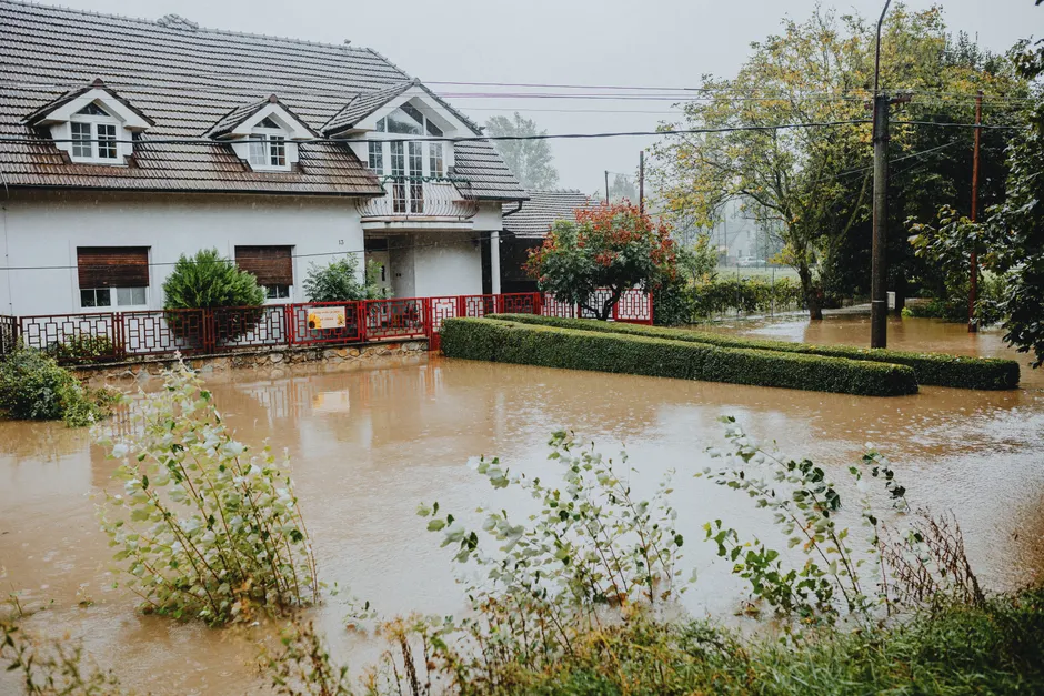
Heavy rain fell hardest in coastal areas of Connecticut, New York and New Jersey. In Westport, Connecticut, streets filled with standing water and video showed cars sitting in floodwater. Reuters Wire reporting from the region dates the event to Sunday. WBOC
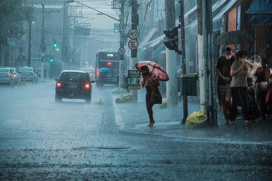
Connecticut recorded some of the heaviest totals. Officials said parts of the state received "up to seven inches of rain in a very short period of time." That much rain in a short burst overwhelms drains, like pouring a bucket into a small sink. Underpasses, low-lying streets and small streams can become immediate hazards.
The effects were clear on roads and on foot. Motorists were stranded by rising water and emergency crews carried out water rescues. Half-marathon runners pushed through waist-deep floodwater to continue the race. BBC
Travel took a double hit. Flash flooding prompted road closures across the tristate area and caused commuter rail problems, making Sunday travel difficult between suburbs and city centers. Bozeman Daily Chronicle Highways and rail lines in this corridor often run through low elevation and along waterways, so closures and delays spread fast.
By Monday morning, forecasters were still flagging hazardous conditions. A National Weather Service Hazardous Weather Outlook dated Mon Sep 14, 2026 covered southern Connecticut, northeast New Jersey and southeast New York. At 7:40:19 am EDT on Mon, Sep 14, 2026, the National Weather Service New York, NY page listed a Flood Warning among its Watches, Warnings and Advisories.
The terms matter. The National Weather Service defines a Flash Flood Warning as "issued when flash flooding is imminent, generally within the next 6 hours, usually based on observed heavy rainfall." A Flood Warning tends to cover flooding that is ongoing or expected to last longer. An Outlook gives advance notice of conditions that could support hazardous weather.
The broader context here is coordination across jurisdictions. New York, New Jersey and Connecticut share commuters, highways, rail operators and river systems. A single storm can therefore trigger separate municipal responses, state emergency decisions and transit adjustments at once. The question is not only rainfall totals but how warnings translate into road closures, rescue deployments and rail operating decisions in real time.
Looking at what this means for the next 24 to 48 hours, the key variables are residual water, road reopenings and rail recovery. Stranded vehicles and water rescues point to rapid onset. That pattern often leaves debris, closed lanes and signal or track checks after water recedes. Runners in waist-deep water also show the public communication challenge. People already in motion, whether driving or racing, have limited options once streets flood.
In my view, the Westport images and the seven-inch figure will focus attention on short-burst intensity rather than storm duration. Planners in the tristate region routinely prepare for coastal storms and prolonged rain. Short, intense downpours test a different set of assumptions about drainage capacity, driver behavior and event safety. The details from Sunday give officials, transit managers and event organizers a concrete case to review.