Flash Flooding Strikes New York and New Jersey Ahead of World Cup Final
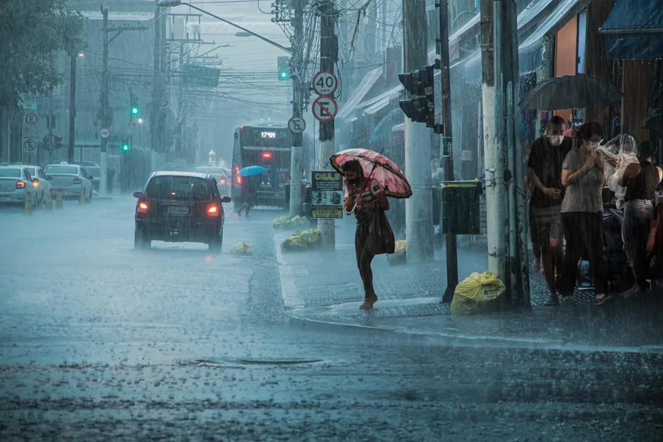
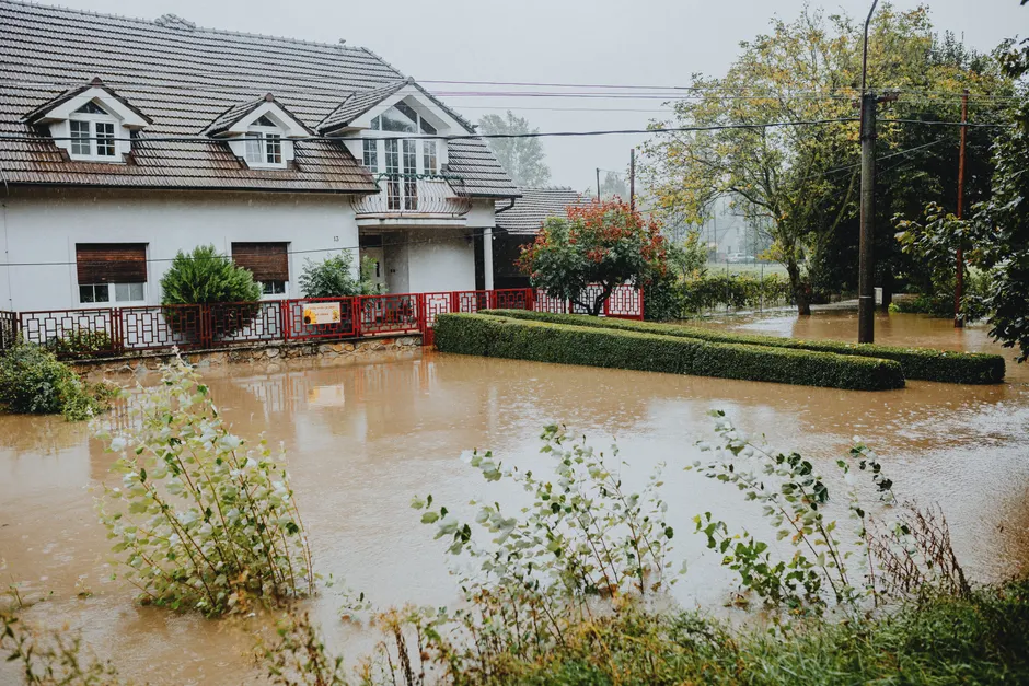
Torrential rain and thunderstorms hit New York City and New Jersey on Saturday, July 18, 2026, triggering flash flooding that swamped subway stations, submerged streets, and forced drivers to abandon vehicles in rising water across the Tri-State area (BBC News).
The National Weather Service (NWS) had issued a Flood Watch for the New York City area from 10:00 AM EDT on July 18 through 2:00 AM EDT on July 19. A Flash Flood Warning — a more urgent alert meaning flooding is happening or imminent — was in effect until 2:00 PM EDT the same day. A separate NWS Flash Flood Warning covered Interstate 195 in New Jersey between mile markers 19 and 34. These warnings came after days of heavy smoke and extreme heat across the region (ABC7 Chicago).
Videos shared on social media showed people wading through knee-deep water, vehicles surrounded by floodwater, and civilians being rescued by emergency services. The downpour poured directly into subway stations in parts of New York, halting segments of the transit network. Streets across the Tri-State area — which includes New York, New Jersey, and Connecticut — were flooded. Some drivers left their vehicles stranded as water levels rose around them (BBC News).
The timing made the disruption especially significant. A number of flights were disrupted on the eve of the World Cup final, scheduled to be held in New Jersey. A Yankees-Dodgers game in the Bronx was rained out, along with several other local sporting events across the metropolitan area (BBC News).
Two people in New Jersey were killed when their vehicle was swept away by floodwaters during the storm (AP News. Flooding rains from the same storm system were also reported in Philadelphia. In New Jersey, heavy rain caused a store roof to collapse (AP News. New Jersey Governor Phil Murphy commented publicly on the flooding situation (AP News).
The broader context here is a pattern of extreme weather hitting the New York metropolitan area in quick succession. The severe storms followed a stretch of unhealthy air quality from smoke and extreme heat, meaning the region absorbed one shock after another within a compressed window. The NWS's layered approach — moving from a Flood Watch (conditions are favorable for flooding) to a Flash Flood Warning (flooding is occurring or about to) — reflected meteorologists' confidence that rainfall would overwhelm drainage systems and the ground's ability to absorb water. That is exactly what happened, with subway infrastructure, surface roads, and interstate highways all affected.
The event also collided with a high-profile logistical moment. The World Cup final, one of the most-watched sporting events globally, drew international visitors and media to New Jersey on the same weekend the storm struck. Flight disruptions on the eve of the final placed additional strain on transport networks already handling surge demand. The rained-out Yankees-Dodgers matchup and cancellation of local sporting events showed how comprehensively the storm disrupted the region's scheduled activities.
For urban infrastructure planners and emergency managers, the flooding reinforced a familiar vulnerability. The New York City subway system, with its many street-level entrances and grated openings, has repeatedly funneled stormwater underground during intense rainfall. The Tri-State area's extensive paved surfaces — think of how much of the region is covered by concrete and asphalt, leaving little exposed earth to soak up water — channel runoff into roadways and transit infrastructure rather than into the ground. Interstate highways built through low-lying corridors, such as the I-195 stretch covered by the NWS warning, are particularly prone to rapid water accumulation.
The fatalities in New Jersey, caused by a vehicle being swept away, point to a persistent danger in flash flood scenarios: motorists underestimating the depth and force of moving water. The collapse of a store roof under the weight of accumulated rain adds a structural-damage dimension to the event's toll, extending the impact beyond transit and roadway disruption.
What remains to be assessed is the full scope of property damage, the duration of subway service interruptions, and whether any further NWS alerts will be issued as the system progresses. The Flood Watch extended into the early hours of July 19, suggesting that residual flood risk persisted beyond the peak of the initial downpour.