Iran Struck U.S. Military Communication Sites Across the Middle East, Satellite Imagery Shows
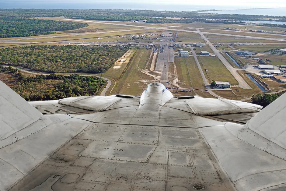
Iran attacked U.S. military communication infrastructure at multiple sites across the Middle East, according to a New York Times analysis of satellite imagery and verified videos published on March 3, 2026. The visuals analyzed by the NYT show damage to American military installations across the region, confirming that the strikes hit communication infrastructure used by U.S. forces. (New York Times)
The Times report is based on its own open-source visual analysis rather than official U.S. government confirmation. Satellite imagery and verified video footage together document the physical damage. The report does not specify the number of sites struck, the munitions used, the extent of damage at each location, or whether any U.S. personnel were casualties. What the visuals do establish is that the strikes were spread across multiple locations in the Middle East rather than concentrated at a single installation.
The choice of communication infrastructure as a target carries specific operational logic worth examining. Military communication nodes — whether they handle tactical datalinks (the systems that share battlefield information in real time), satellite uplinks, or command-and-control relay systems — function as the connective tissue of forward-deployed operations. Think of them as the nervous system of a military force: they carry the orders and data that let units coordinate across distances. Degrading these nodes does not necessarily require destroying hard assets like aircraft or armored vehicles to disrupt U.S. military coordination across the region. The distributed pattern of the strikes, hitting multiple sites rather than concentrating firepower on one, is consistent with an effort to fragment communication links across a broad geographic area rather than eliminate a single node.
The Times relied on commercially available satellite imagery and verified video rather than on U.S. government or Iranian military statements, placing this reporting in a specific evidentiary category. Open-source visual analysis has become a staple of conflict reporting, allowing independent corroboration of strikes where official accounts may be delayed, partial, or absent. The methodology has inherent limitations: satellite imagery captures a moment, not the sequence of events that produced it, and verified video provides ground-level detail but may not convey the full geographic scope of a multi-site operation. The Times drew on both formats to bridge those gaps, but the findings rest on visual interpretation rather than forensic or military assessment.
Several consequential questions remain outside the scope of the reporting. The Times analysis does not establish the specific weapon systems Iran employed — whether the strikes involved ballistic missiles, cruise missiles, or drones. The report does not address the operational effectiveness of the strikes from a military standpoint, meaning whether the communication infrastructure was rendered non-functional or merely damaged. It does not specify which countries hosted the struck sites, leaving the host-nation dimension, including potential basing-access and sovereignty issues, unaddressed. And it does not report on any U.S. or Iranian official statements regarding the strikes, meaning the attribution to Iran rests on the Times's own analytical framework rather than acknowledged authorship.
The broader context here is a direct Iranian strike on U.S. military infrastructure, documented through independent visual analysis, at a time when the Middle East's security landscape is already under considerable strain. The targeting of communication infrastructure, rather than personnel concentrations or high-visibility assets like bases or airfields, suggests a calculus aimed at degrading operational coordination rather than maximizing casualties. The two objectives are not mutually exclusive, however, and the absence of casualty data in the reporting limits any firm conclusion on that point.
For analysts and policymakers tracking the region, the key variables to watch are whether the U.S. government confirms the Times's findings through its own assessment, whether host nations whose territory hosts the affected installations issue responses, and whether the strikes provoke retaliatory action or become part of an escalating pattern of tit-for-tat exchanges. The evidentiary standard the Times set — satellite imagery cross-referenced with verified video — may also shape how subsequent claims and counterclaims are evaluated in the public domain. In a region where information warfare frequently accompanies military operations, the methodology of verification itself can become part of the story.