Twin Earthquakes Strike Venezuela's Northern Coast, Casualties Expected

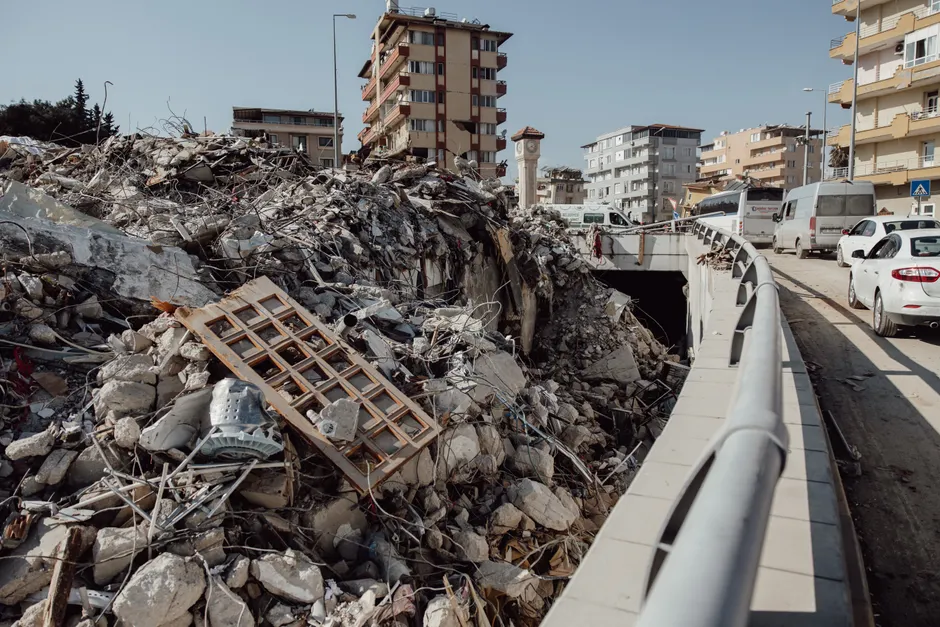
Two strong earthquakes — magnitudes 7.2 and 7.5 — struck Venezuela's northern coast on June 24, 2026, separated by roughly 39 seconds, triggering building collapses and ground failure across the affected region, according to Reuters.
The 7.2 event was centered approximately 160 km west of Caracas, placing the epicentral zone in a stretch of coastal and semi-urban terrain that includes mid-sized cities and dense informal settlements. The 7.5 followed within the same seismic sequence, compounding stress on structures already compromised by the first rupture. That near-simultaneous doublet pattern — two discrete M7+ events within a single minute — is seismologically unusual and significantly raises the damage envelope compared with a single mainshock of equivalent magnitude.
Reporting from EOS/The Landslide Blog confirmed ground failure alongside the structural collapses, a detail that matters operationally. Ground failure — liquefaction, lateral spreading, or triggered landslides — complicates search-and-rescue access, undermines foundations of structures that survived the shaking, and can sever road and utility corridors for days or weeks. In steep coastal terrain north of Caracas, that hazard profile is acute.
Venezuela's built environment has accumulated seismic vulnerability over years of economic contraction. Deferred maintenance, informal construction without code enforcement, and a construction sector effectively frozen by sanctions and currency collapse mean the ratio of collapse to shaking is likely higher than regional averages would suggest. High casualties are assessed as probable given the proximity to population centers.
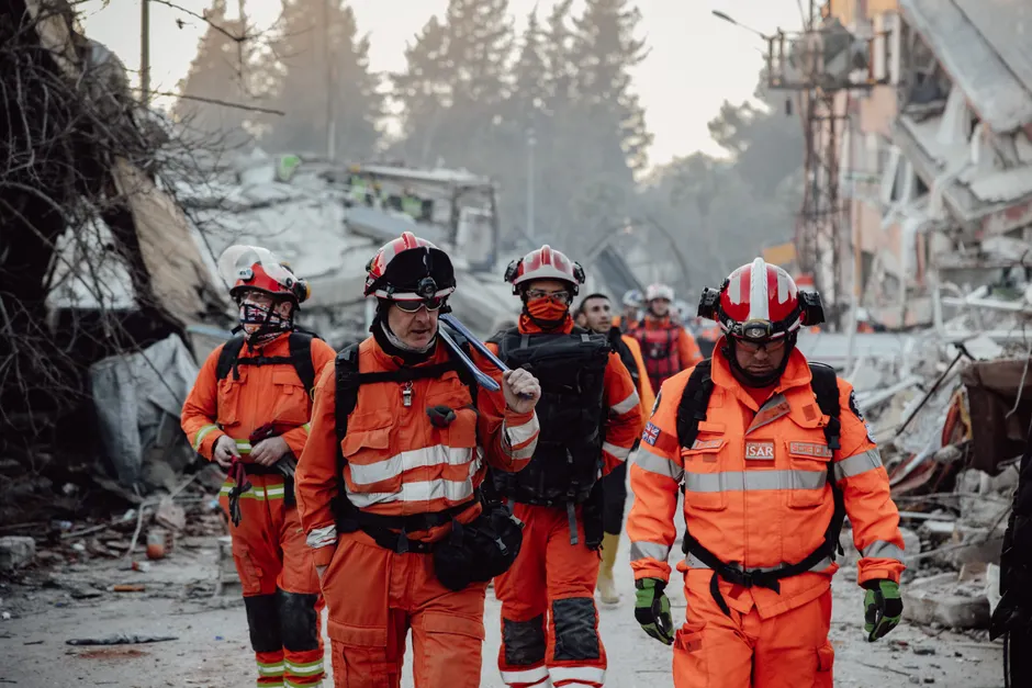
The international response was already taking shape within hours. Secretary of State Marco Rubio issued remarks to the press regarding U.S. earthquake assistance to Venezuela, according to the State Department. The diplomatic dimension is not straightforward: Washington and Caracas have operated without normalized relations for years, and any U.S. humanitarian engagement will navigate the same channel constraints that have complicated prior disaster diplomacy between the two governments. Whether aid moves bilaterally, through USAID mechanisms, or via third-party NGOs will be an early indicator of how much political space both sides are willing to create.
The broader humanitarian logistics picture is similarly constrained. Venezuela's port and road infrastructure has deteriorated substantially; coordinating international relief — equipment, personnel, field hospitals — into a country with limited customs throughput and uneven internal access requires early coordination with Venezuelan civil protection authorities and whatever multilateral framework activates. PAHO and OCHA have established Venezuela presences, but the scale of a dual M7+ sequence near a major metropolitan area will test those capacities rapidly.
The seismicity itself warrants attention. Northern Venezuela sits along the transpressional boundary between the Caribbean and South American plates, a tectonic setting that has produced destructive historical earthquakes, including the 1967 Caracas earthquake that killed hundreds and flattened high-rise residential towers. The 2026 doublet's offshore or near-coastal position means tsunami assessment — however preliminary — will have been part of the immediate scientific response, though no such warning has been reported in available sourcing.
The aftershock sequence from events of this magnitude typically includes M6+ shocks in the days following. That prolongs the window of danger for compromised structures and complicates when it is safe for residents to re-enter damaged buildings — a decision that, in a context of limited state capacity, often gets made informally and at personal risk.
Full casualty and damage figures are pending. What is clear from the seismic parameters alone is that June 24 produced one of the most energetically significant earthquake sequences Venezuela has experienced in decades.