Nepal-Tibet Flash Floods: A Disaster Across Borders
At least 359 people have died and more than 1,300 remain missing after catastrophic flash floods struck Nepal and Tibet on Wednesday, 26 August 2026, according to the Associated Press and the Guardian. An urgent international relief effort was underway by Thursday, 27 August Reuters.
Reuters reported that the suspected trigger was an earthquake, which set off an ice-rock avalanche — a collapse of glacial ice, mud, and rock — into the Lhende Khola river in Nepal. The avalanche sent a massive surge of water racing downstream into Tibet's Gyirong border crossing, a key route along a pilgrimage path. The wave swept away scores of people at the crossing. Tibetan authorities said they feared "major casualties" after a mudslide struck the border area Reuters.
The missing include hundreds of tourists from India, the United States, Britain, Australia, and Canada, many of whom were trekking or on pilgrimage in the mountainous region. Families have been seeking news of loved ones who remain unaccounted for Reuters. The floods destroyed dozens of bridges and nearly 25 miles (40 km) of roads, severely complicating access for rescue and relief teams The Guardian.
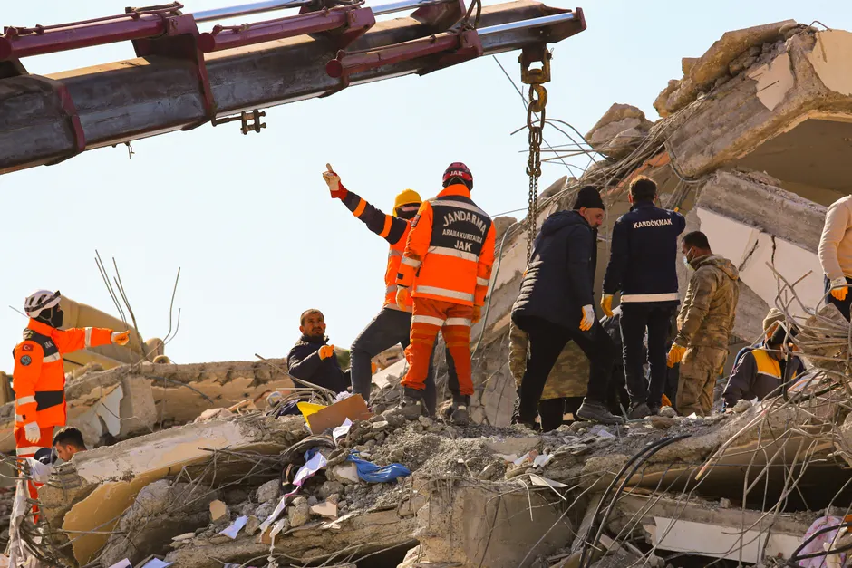
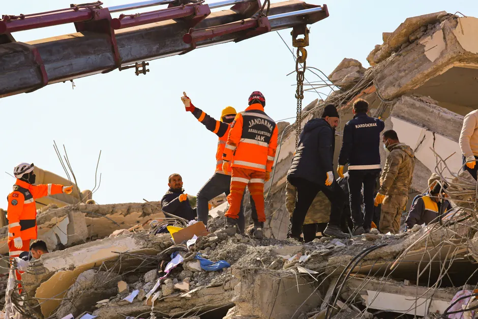
More than 100 people were rescued by Nepali army helicopters, and dozens of injured were transported to Kathmandu for advanced medical care. Kamal Kharel, who works at a hydropower plant in Chilime, Rasuwa district, survived by climbing a hill and was rescued by the army on Thursday morning. Girilal Budhathoki, 36, also of Rasuwa district in Bagmati province, said the floodwaters swept away his wife and four children The Guardian.
The casualty figures continued to evolve as assessments proceeded. The Associated Press, citing Nepali police, reported more than 350 killed and over 1,300 missing. The BBC reported that more than 900 people were missing in Nepal alone as of 27 August, while Tibetan authorities reported at least 558 missing and three confirmed dead on their side. Al Jazeera, citing Nepal's authorities, put the total missing across both Nepal and Tibet at nearly 1,400 BBC; Al Jazeera.
A compounding threat looms over rescue operations. Nepal's disaster authority warned that a swelling lake formed at the flood site was rising and could burst. Separately, Chinese authorities warned that a barrier lake — a body of water formed when debris blocks a river — at the confluence of the Tsogyal and Purupqiangzangbu rivers was overflowing and could breach, raising the prospect of a secondary flood surge downstream The Guardian.
UN humanitarian chief Tom Fletcher described the flood as "horrifying" and said emergency teams had been mobilised with an initial $2 million (£1.5 million) in disaster funds allocated for emergency medical care, shelter, and water The Guardian.
Nepal's National Disaster Risk Reduction and Management Authority (NDRRMA) reported 33 disaster-related incidents across the country, encompassing snakebites, landslides, fires, floods, and heavy rainfall, according to its official channels. The agency, headquartered at Singha Durbar in Kathmandu, has activated its SETU platform for relief coordination, including a dedicated "Relief Needs — Rasuwa Flood" page where users can request quantities of relief items. Nepal's Department of Hydrology and Meteorology operates flood forecast bulletins covering the Bagmati, Koshi, and West Rapti rivers using the MIKE-11 and NAM hydrological models alongside the South Asia Flash Flood Guidance System.
The broader context here is significant. Nepal's disaster management architecture — including real-time flood bulletins and the NDRRMA's emergency operations centre — was designed for exactly this category of event, yet the sheer scale of destruction across a remote, high-altitude border zone exposes the limits of early warning systems when a single ice-rock avalanche can obliterate 40 km of road infrastructure in minutes.
The disaster's transnational character presents distinctive coordination challenges. The flood path crossed from Nepal into China's Tibet Autonomous Region, requiring two separate government bureaucracies to manage search, rescue, and hazard monitoring in tandem. The barrier lake threats identified by both Nepali and Chinese authorities sit on different river systems but could compound each other's downstream impact. International aid agencies must navigate two sovereign jurisdictions with different protocols for accepting and distributing foreign assistance. The involvement of tourists from at least five countries adds a consular dimension that could pressure governments to accelerate access agreements.
The formation of barrier lakes is a well-documented secondary hazard in glacial flood events, and the warnings from both Nepali and Chinese authorities suggest that the worst may not yet be over. Rescuers are operating in terrain where roads and bridges have been stripped away, where weather at altitude can ground helicopters, and where a secondary flood surge could arrive with minimal warning. The convergence of monsoon-season hydrology, seismically active geology, and accelerating glacial melt in the Himalayas creates a risk profile that national disaster authorities have been preparing for but have not yet faced at this scale.